Bedford Hall, Leigh
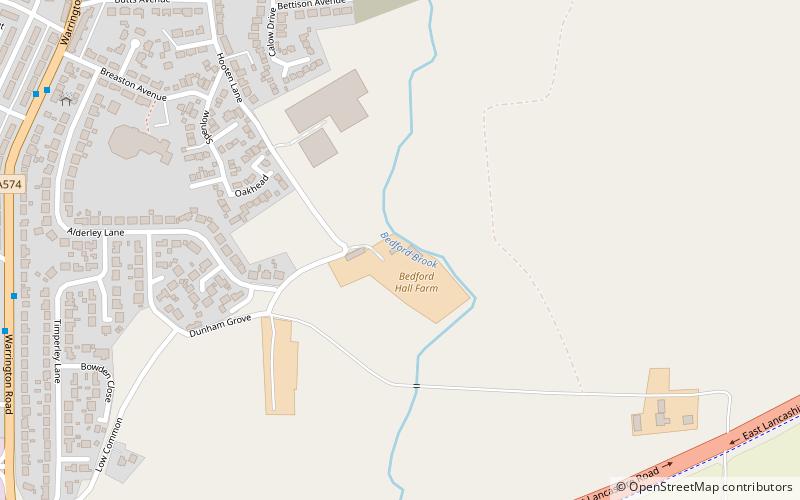
Map
Facts and practical information
Bedford Hall is a late-medieval-house in Bedford, Leigh, Greater Manchester, England. It was leased to tenants by the Kighleys, absent lords of the manor of Bedford, and has been modified several times over the centuries becoming a farmhouse and now two houses. It was one of a group of timber-framed medieval halls, including Morleys Hall in Astley, located to the north of Chat Moss. It is a Grade II Listed building. ()
Coordinates: 53°29'10"N, 2°29'33"W
Address
Leigh
ContactAdd
Social media
Add
Getting there by public transportation
Public transportation stops near this location
- Bus
 Bus
Bus
- Calculate routeWarrington Road/Archer Street 9 min walk
Day trips


Frequently Asked Questions (FAQ)
How to get to Bedford Hall by public transport?
The nearest stations to Bedford Hall:
Bus
Bus
- Warrington Road/Archer Street • Lines: 19 (9 min walk)