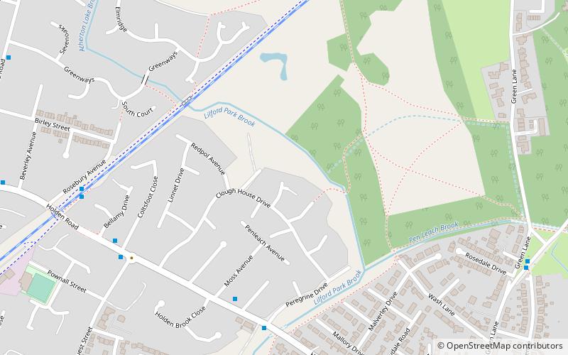
Red Rose Forest, Leigh
Map

Map

Facts and practical information
Red Rose Forest is the previous name for the charity City of Trees, the charity underwent a rebranding in 2016. City of Trees is the community forest for Greater Manchester, part of a national network of community forests across England - www.communityforest-trust.org ()
Coordinates: 53°30'0"N, 2°30'0"W
Address
Leigh
ContactAdd
Social media
Add
Day trips
Red Rose Forest – popular in the area (distance from the attraction)
Nearby attractions include: Leigh Sports Village, Christ Church, St George's Church, St Michael and All Angels' Church.
Frequently Asked Questions (FAQ)
Which popular attractions are close to Red Rose Forest?
Nearby attractions include St Joseph's Roman Catholic Church, Leigh (14 min walk), Leigh Town Hall, Leigh (21 min walk).
How to get to Red Rose Forest by public transport?
The nearest stations to Red Rose Forest:
Bus
Bus
- Chapel Street/Three Crowns • Lines: 19 (13 min walk)
- Leigh Bus Station (21 min walk)


