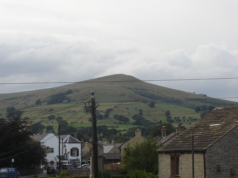
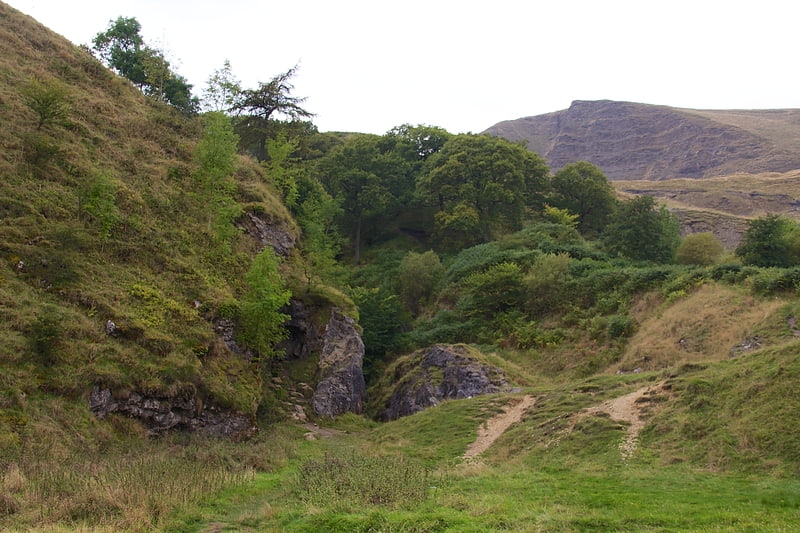
Lose Hill, Peak District

Gallery (2)
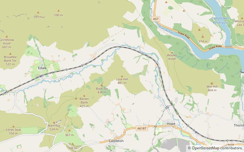
Map
Map
Gallery
Facts and practical information
Lose Hill lies in the Derbyshire Peak District. It is the south-east corner of the parish of Edale and the end of the Great Ridge that runs from Rushup Edge to the west. ()
Elevation: 1562 ftProminence: 249 ftCoordinates: 53°21'54"N, 1°46'17"W
Address
Peak District
ContactAdd
Social media
Add
Getting there by public transportation
Public transportation stops near this location
- Bus
 Bus
Bus
- Calculate routeHope 41 min walk
Day trips


Frequently Asked Questions (FAQ)
How to get to Lose Hill by public transport?
The nearest stations to Lose Hill:
Bus
Bus
- Hope • Lines: 173, 174, 257, 271, 272 (41 min walk)