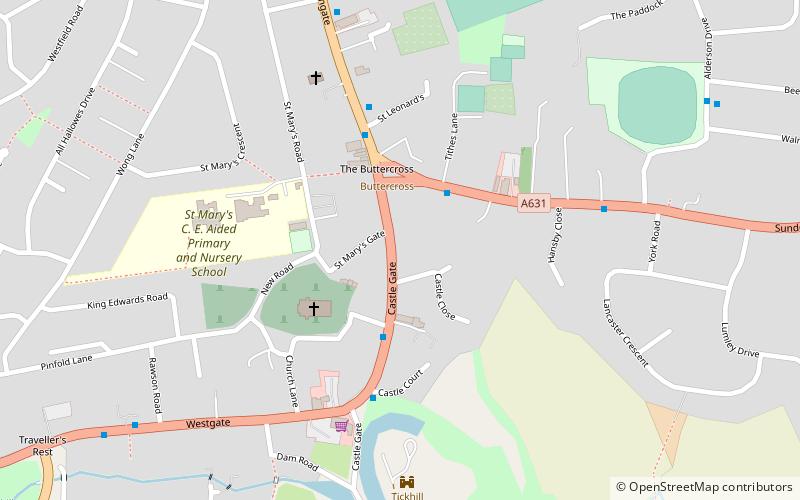
Strafforth and Tickhill, Tickhill

Map
Facts and practical information
Strafforth and Tickhill, originally known as Strafforth, was the southernmost wapentake in the West Riding of Yorkshire, England. The west of the district, plus a detached area in the east, constituted the Upper Division, while the central area and a detached part in the extreme east constituted the Lower Division. ()
Coordinates: 53°25'55"N, 1°6'32"W
Address
Tickhill
ContactAdd
Social media
Add
Day trips
Strafforth and Tickhill – popular in the area (distance from the attraction)
Nearby attractions include: Lakeside Village, Keepmoat Stadium, Roche Abbey, Yorkshire Wildlife Park.
Frequently Asked Questions (FAQ)
Which popular attractions are close to Strafforth and Tickhill?
Nearby attractions include St Mary's Church, Tickhill (3 min walk), St Leonard's Hospital, Tickhill (4 min walk).


