Thurlestone
#5433 among destinations in the United Kingdom
![Thurlestone location map](https://tzmedia.b-cdn.net/media/images/static-maps/gb/50_2708_-3_86223.jpg)
Facts and practical information
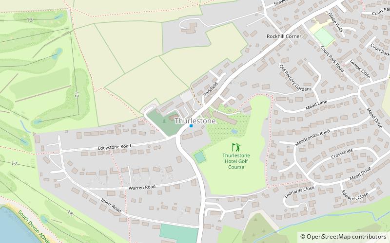
Thurlestone is a village 5 miles west of Kingsbridge in the South Hams district in south Devon, England. There is an electoral ward in the same name. The population at the 2011 census was 1,886. ()
EnglandUnited Kingdom
Thurlestone plan & book
Unleash the traveler in you — discover the cheapest flight deals, find the perfect hotel or hostel nearby, and search for the best car rental prices. Travel at your own pace to discover new places and enjoy your journey.
Thurlestone – popular in the area (distance from the attraction)
Nearby attractions include: Salcombe Castle, Overbeck's, Flete House, South Efford Marsh.
4.8 miSEForts and castlesSalcombe Castle, Salcombe
122 min walk • Salcombe Castle or Fort Charles is a ruined fortification just off the beach of North Sands in Salcombe, Devon, England, within the South Devon Area of Outstanding Natural Beauty. It is located on a rocky outcrop which is easily reached on foot at low tide. It is a Grade II listed building and ancient monument.
4.8 miSEGarden, Museum, History museumOverbeck's, Salcombe
122 min walk • Overbeck's Museum and Garden is an Edwardian house and 2.75 hectare garden at Sharpitor, Salcombe, Devon, England. It is named after its last private owner Otto Christop Joseph Gerhardt Ludwig Overbeck.
6.1 miNWParkFlete House, South Devon Area of Outstanding Natural Beauty
155 min walk • Flete House is a Grade I listed country house at Holbeton, in the South Hams region of Devon, England.
2.6 miNAreaSouth Efford Marsh, South Devon Area of Outstanding Natural Beauty
67 min walk • South Efford Marsh is a nature reserve of the Devon Wildlife Trust. It is situated by the River Avon, about 0.5 miles south-west of the village of Aveton Gifford, in Devon, England.
4.7 miSE50°14'25"N • 3°46'3"WPaper Bird Island, Salcombe
120 min walk • Museum, Paint and pottery studios, Classes and workshops
3.9 miE50°17'14"N • 3°46'41"WKingsbridge Cookworthy Museum, Kingsbridge
100 min walk • Specialty museum, History museum, Museum
4.2 miNEForestFosse Copse, South Devon Area of Outstanding Natural Beauty
108 min walk • Fosse Copse is a woodland in Devon, England, near the village of Loddiswell. It covers a total area of 1.88 hectares on the west facing slope of the Avon Valley. It is owned and managed by the Woodland Trust. There is no public access.
1.6 miSEVillageFrogmore
41 min walk • Frogmore is a village in the civil parish of Frogmore and Sherford in the South Hams district of the county of Devon, England. The origin of the place-name is from the Old English words frogga and mere meaning pool frequented by frogs.
4.7 miNNeighbourhoodWhympston, South Devon Area of Outstanding Natural Beauty
119 min walk • Whympston, in the parish of Modbury in Devon, England, is a historic manor. In the 12th century it became the earliest English seat of the prominent Norman family of Fortescue, influential in British and West Country history, which survives today as Earl Fortescue, seated at...
2.7 miSNeighbourhoodBolberry Down, South Devon Area of Outstanding Natural Beauty
69 min walk • Bolberry Down is a clifftop area on the coast of Devon, England. The headland of Bolt Tail lies to the west and Bolt Head and the town of Salcombe to the east.
1.8 miWIslandBurgh Island
46 min walk • Burgh Island is a tidal island on the coast of South Devon in England near the small seaside village of Bigbury-on-Sea. There are several buildings on the island, the largest being the Art Deco Burgh Island Hotel.