Gibraltar Barracks, Bury St Edmunds
Map

Map

Facts and practical information
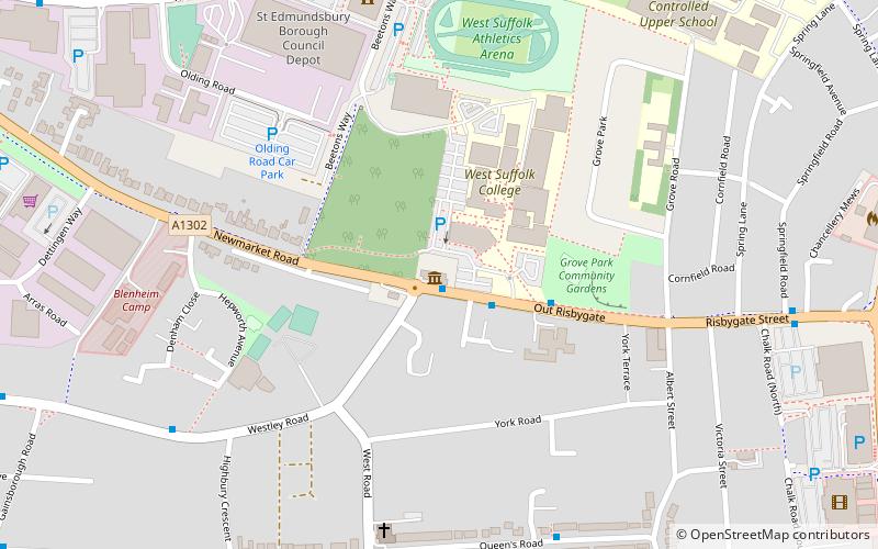
Gibraltar Barracks is a military installation located on Out Risbygate, Bury St Edmunds. ()
Built: 1878 (148 years ago)Coordinates: 52°14'53"N, 0°41'54"E
Address
Bury St Edmunds
ContactAdd
Social media
Add
Day trips
Gibraltar Barracks – popular in the area (distance from the attraction)
Nearby attractions include: St Edmundsbury Cathedral, Abbey Gardens, The Nutshell, St Mary's Church.
Frequently Asked Questions (FAQ)
Which popular attractions are close to Gibraltar Barracks?
Nearby attractions include West Suffolk College, Bury St Edmunds (3 min walk), St Edmundsbury, Bury St Edmunds (7 min walk), Bury St Edmunds Guildhall, Bury St Edmunds (17 min walk), St Edmund's Church, Bury St Edmunds (21 min walk).
How to get to Gibraltar Barracks by public transport?
The nearest stations to Gibraltar Barracks:
Bus
Train
Bus
- Westley Road • Lines: 11, M44, M77 (1 min walk)
- West Suffolk College • Lines: 11, M77 (2 min walk)
Train
- Bury St Edmunds (19 min walk)


