St Edmund's Church, Bury St Edmunds
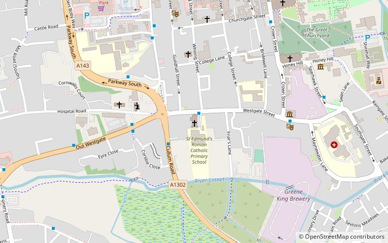
Map

Map

Facts and practical information
St Edmund's church is a Roman Catholic parish church in Bury St Edmunds, Suffolk. It was founded by the Jesuits in 1763 and the current church was built on that site in 1837. It is situated on Westgate street in the centre of the town. It is administered by the Diocese of East Anglia, in its Bury St Edmunds deanery. It is a Grade II* listed building. ()
Completed: 1837 (189 years ago)Architectural style: NeoclassicismCoordinates: 52°14'27"N, 0°42'47"E
Day trips
St Edmund's Church – popular in the area (distance from the attraction)
Nearby attractions include: St Edmundsbury Cathedral, Abbey Gardens, The Nutshell, St Mary's Church.
Frequently Asked Questions (FAQ)
Which popular attractions are close to St Edmund's Church?
Nearby attractions include Theatre Royal, Bury St Edmunds (5 min walk), Bury St Edmunds Guildhall, Bury St Edmunds (6 min walk), St Mary's Church, Bury St Edmunds (6 min walk), St Edmundsbury Cathedral, Bury St Edmunds (8 min walk).
How to get to St Edmund's Church by public transport?
The nearest stations to St Edmund's Church:
Bus
Train
Bus
- St Edmunds RC Primary • Lines: M11 (1 min walk)
- Albert Buildings • Lines: 753, 84, M11, M22, M88 (3 min walk)
Train
- Bury St Edmunds (23 min walk)


