Turnberrie's Community Centre, Thornbury

Gallery (1)
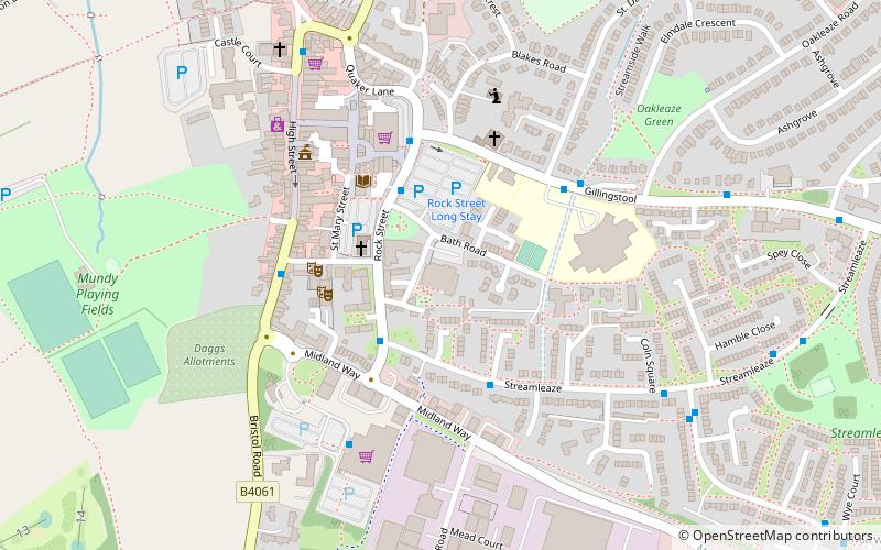
Map
Map
Facts and practical information
Turnberrie's Community Centre (address: Bath Road) is a place located in Thornbury (England kingdom) and belongs to the category of sightseeing.
It is situated at an altitude of 174 feet, and its geographical coordinates are 51°36'22"N latitude and 2°31'24"W longitude.
Among other places and attractions worth visiting in the area are: Armstrong Hall (concerts and shows, 3 min walk), Thornbury Castle (hotel, 16 min walk), Thornbury Golf Centre (outdoor activities, 20 min walk).
Coordinates: 51°36'22"N, 2°31'24"W
Day trips


Frequently Asked Questions (FAQ)
Which popular attractions are close to Turnberrie's Community Centre?
Nearby attractions include Armstrong Hall, Thornbury (3 min walk), Thornbury Castle, Thornbury (16 min walk).