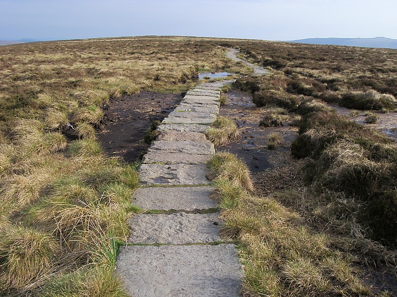
Offa's Dyke Path, Chepstow
Map
Gallery
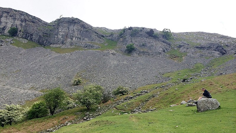
Facts and practical information
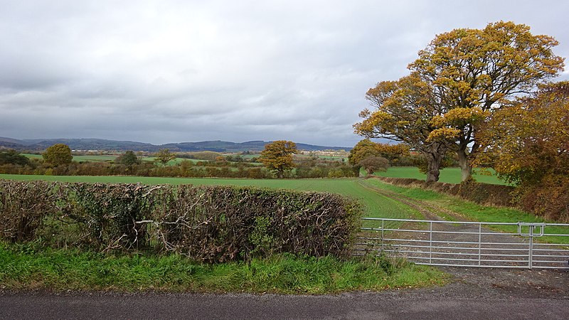
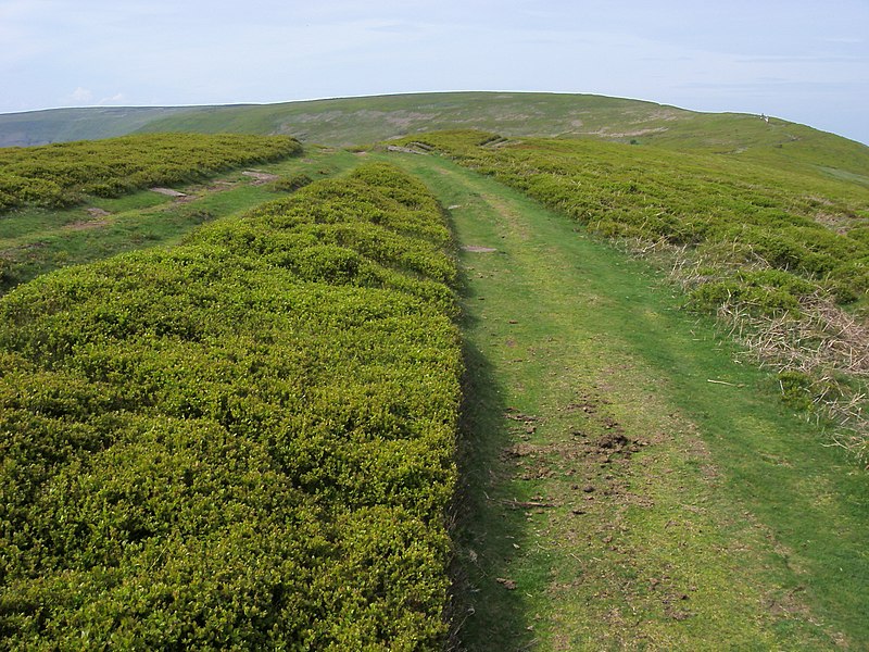
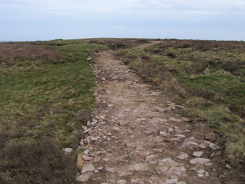
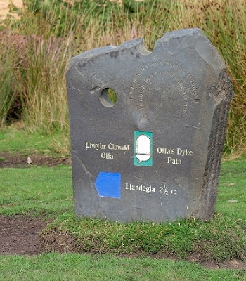
Offa's Dyke Path is a long-distance footpath broadly following the Wales–England border. Officially opened on 10 July 1971, by Lord Hunt, it is one of Britain's National Trails and draws walkers from throughout the world. About 60 miles of the 177-mile route either follows, or keeps close company with, the remnants of Offa's Dyke, an earthwork, most of which was probably constructed in the late 8th century on the orders of King Offa of Mercia. ()
Alternative names: Length: 177 miMaximum elevation: 2306 ftSeason: All yearCoordinates: 51°37'57"N, 2°38'54"W
Address
Chepstow
ContactAdd
Social media
Add
Day trips
Offa's Dyke Path – popular in the area (distance from the attraction)
Nearby attractions include: Chepstow Castle, Gloucester Hole, Old Wye Bridge, Chepstow Port Wall.
Frequently Asked Questions (FAQ)
How to get to Offa's Dyke Path by public transport?
The nearest stations to Offa's Dyke Path:
Train
Train
- Chepstow (29 min walk)


