Breary Marsh, Leeds
Map
Map

Facts and practical information
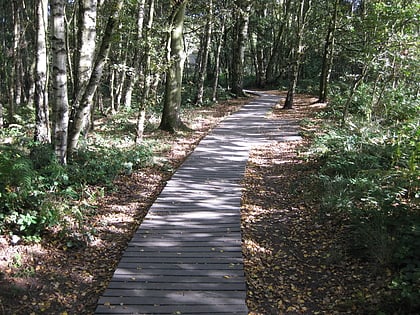
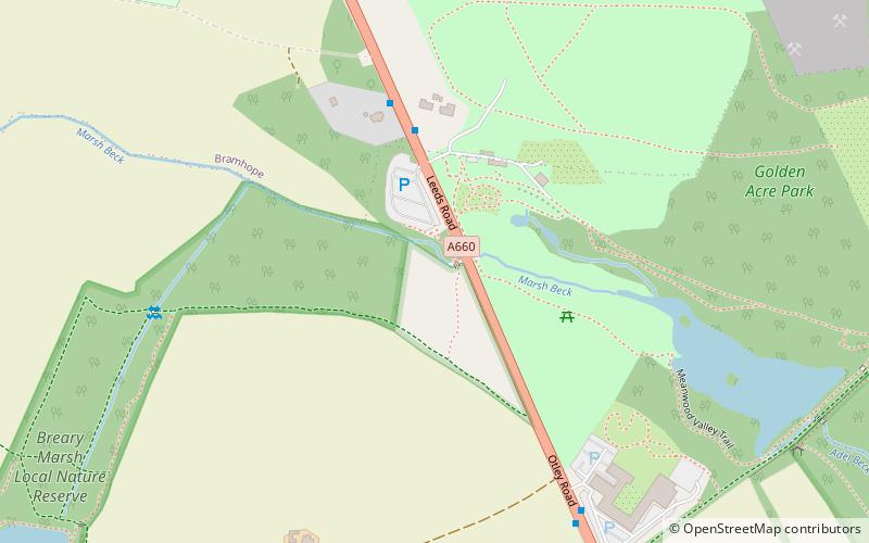
Breary Marsh is a Local Nature Reserve and Site of Special Scientific Interest situated adjacent to Golden Acre Park in Leeds, West Yorkshire, England, grid reference SE264416. ()
Elevation: 427 ft a.s.l.Coordinates: 53°52'14"N, 1°35'46"W
Address
CookridgeLeeds
ContactAdd
Social media
Add
Day trips
Breary Marsh – popular in the area (distance from the attraction)
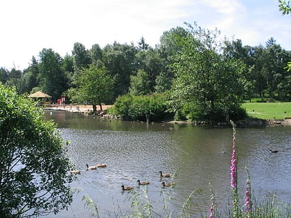
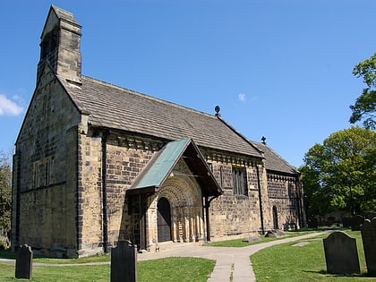
Nearby attractions include: Leeds Country Way, Golden Acre Park, St John the Baptist Church, Cookridge Hall Golf & Country Club..
Frequently Asked Questions (FAQ)
Which popular attractions are close to Breary Marsh?
Nearby attractions include Golden Acre Park, Leeds (7 min walk), Holt Park, Leeds (22 min walk).
How to get to Breary Marsh by public transport?
The nearest stations to Breary Marsh:
Bus
Bus
- Leeds Road Golden Acre Park • Lines: 875, X84 (4 min walk)
