Holt Park, Leeds
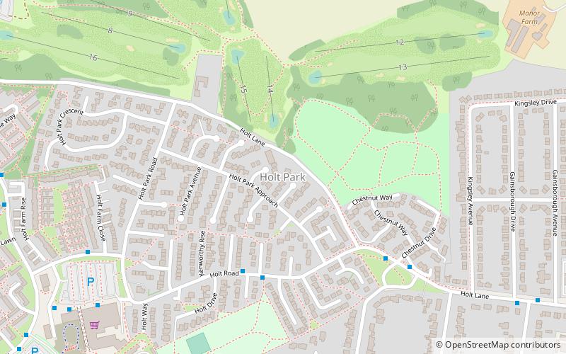
Map
Facts and practical information
Holt Park is a medium-sized low-rise 1970s housing estate in the northwest suburbs of Leeds, West Yorkshire, England. It is approximately 6 miles from Leeds city centre situated between Tinshill, Cookridge and Adel, and is at the edge of the Leeds urban fringe, bordering the green belt which makes up two thirds of the metropolitan borough of the City of Leeds. The nearby Tinshill BT Tower dominates the skyline. ()
Coordinates: 53°51'31"N, 1°36'2"W
Address
CookridgeLeeds
ContactAdd
Social media
Add
Day trips
Holt Park – popular in the area (distance from the attraction)
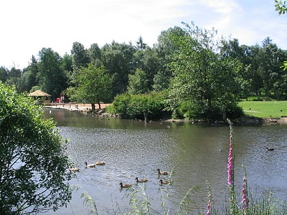
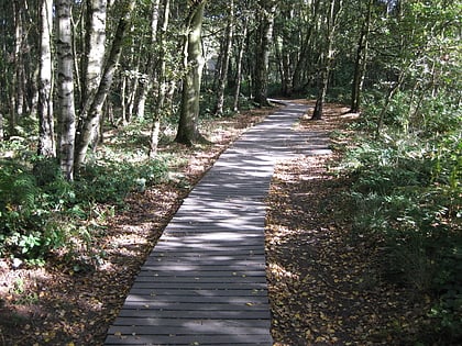
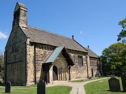
Nearby attractions include: Leeds Country Way, Golden Acre Park, Breary Marsh, St John the Baptist Church.
Frequently Asked Questions (FAQ)
Which popular attractions are close to Holt Park?
Nearby attractions include St John the Baptist Church, Leeds (18 min walk), Lawnswood, Leeds (21 min walk), Breary Marsh, Leeds (22 min walk), Ireland Wood, Leeds (23 min walk).
How to get to Holt Park by public transport?
The nearest stations to Holt Park:
Bus
Bus
- Holt Road Holt Rise • Lines: 8 (4 min walk)
- Holt Park Chestnut Drive • Lines: 8 (5 min walk)
