Sarn Helen, Conwy
Map
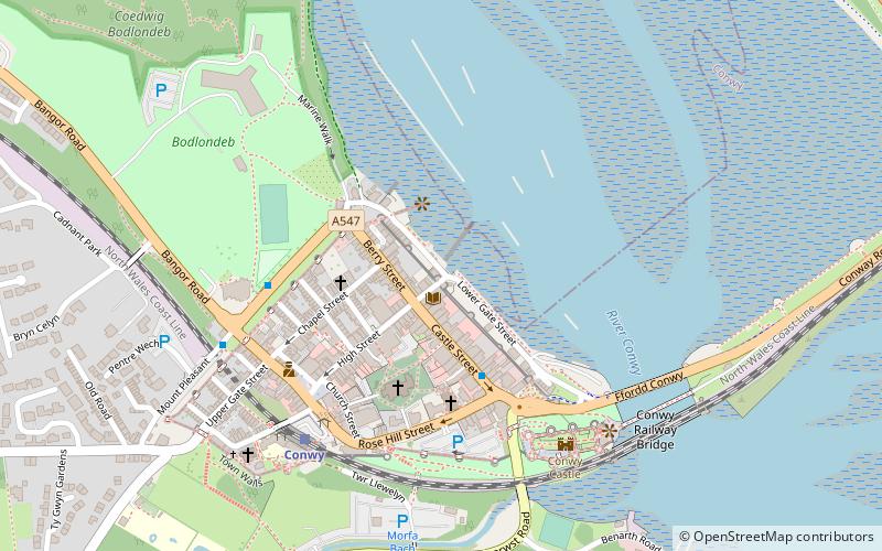
Map

Facts and practical information
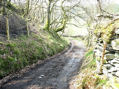
Sarn Helen refers to several stretches of Roman road in Wales. The 160-mile route, which follows a meandering course through central Wales, connects Aberconwy in the north with Carmarthen in the west. Despite its length, academic debate continues as to the precise course of the Roman road. Many sections are now used by the modern road network while other parts are still traceable. However, there are sizeable stretches that have been lost and are unidentifiable. ()
Coordinates: 53°16'55"N, 3°49'41"W
Address
Conwy
ContactAdd
Social media
Add
Day trips
Sarn Helen – popular in the area (distance from the attraction)
Nearby attractions include: Conwy Castle, Smallest House in Great Britain, Plas Mawr, Royal Cambrian Academy of Art.
Frequently Asked Questions (FAQ)
Which popular attractions are close to Sarn Helen?
Nearby attractions include Aberconwy House, Conwy (1 min walk), Smallest House in Great Britain, Conwy (1 min walk), St Mary and All Saints Church, Conwy (3 min walk), Plas Mawr, Conwy (3 min walk).
How to get to Sarn Helen by public transport?
The nearest stations to Sarn Helen:
Train
Train
- Conwy (5 min walk)
- Llandudno Junction (21 min walk)
