Conwy Railway Bridge, Conwy
Map
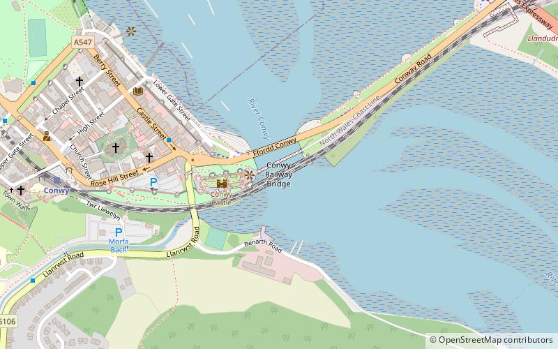
Map

Facts and practical information
The Conwy Railway Bridge carries the North Wales coast railway line across the River Conwy between Llandudno Junction and the town of Conwy. The wrought iron tubular bridge, which is now Grade I listed, was built in the 19th century. It is the last surviving example of this type of design by Stephenson after the original Britannia Bridge across the Menai Strait was destroyed in a fire in 1970 and replaced by a two-tier truss arch bridge design. ()
Alternative names: Opened: 1849 (177 years ago)Length: 463 ftWidth: 42 ftCoordinates: 53°16'49"N, 3°49'26"W
Address
Conwy
ContactAdd
Social media
Add
Day trips
Conwy Railway Bridge – popular in the area (distance from the attraction)
Nearby attractions include: Conwy Castle, Smallest House in Great Britain, Plas Mawr, Royal Cambrian Academy of Art.
Frequently Asked Questions (FAQ)
Which popular attractions are close to Conwy Railway Bridge?
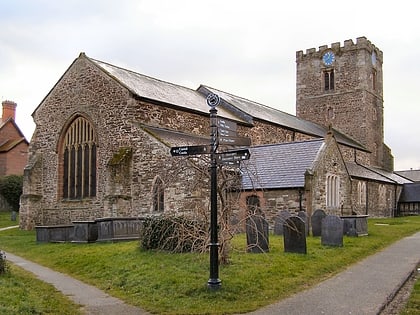
Nearby attractions include Conwy Castle, Conwy (2 min walk), St Mary and All Saints Church, Conwy (6 min walk), Sarn Helen, Conwy (6 min walk), Aberconwy House, Conwy (6 min walk).
How to get to Conwy Railway Bridge by public transport?
The nearest stations to Conwy Railway Bridge:
Train
Train
- Conwy (8 min walk)
- Llandudno Junction (17 min walk)


