Stour Valley Line, Birmingham
Map

Gallery

Facts and practical information
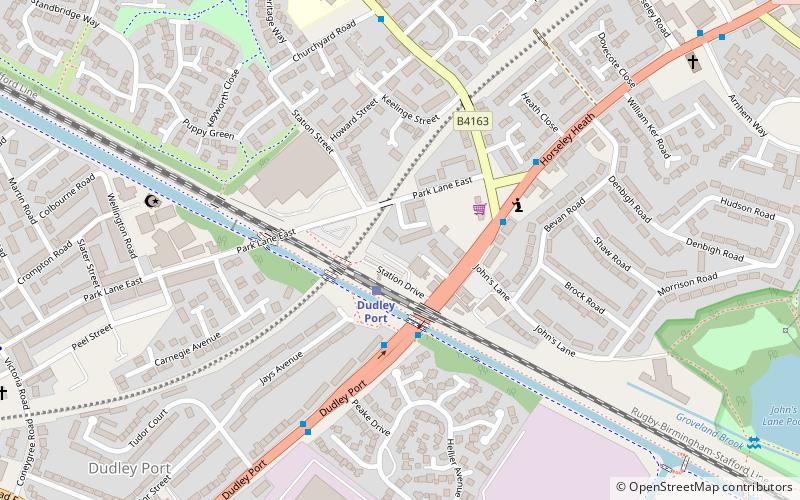
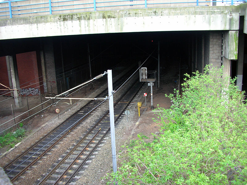
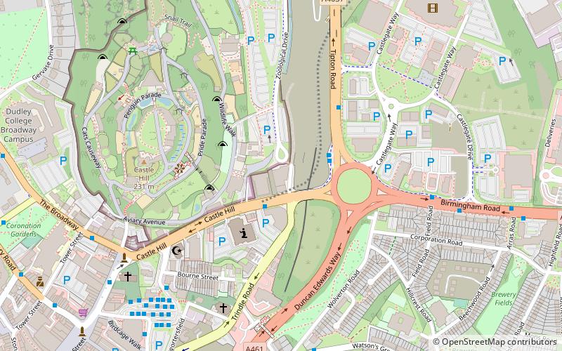
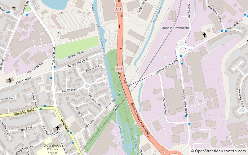
The Stour Valley Line is the present-day name given to the railway line between Birmingham and Wolverhampton, in England. It was authorised as the Birmingham, Wolverhampton and Stour Valley Railway in 1836; the title was often shortened to the Stour Valley Railway. ()
Coordinates: 52°31'30"N, 2°2'56"W
Address
Sandwell (Tipton Green)Birmingham
ContactAdd
Social media
Add
Day trips
Stour Valley Line – popular in the area (distance from the attraction)
Nearby attractions include: Black Country Living Museum, JB's, Dudley Zoo, Sheepwash Urban Park.
Frequently Asked Questions (FAQ)
Which popular attractions are close to Stour Valley Line?
Nearby attractions include Horseley Heath, West Bromwich (11 min walk), Sheepwash Urban Park, Birmingham (14 min walk), Victoria Park, Birmingham (14 min walk), Tipton Green and Toll End Canals, Dudley (15 min walk).
How to get to Stour Valley Line by public transport?
The nearest stations to Stour Valley Line:
Train
Bus
Train
- Dudley Port (2 min walk)
- Tipton (21 min walk)
Bus
- Victoria Rd / Crompton Rd • Lines: 229 (10 min walk)
- Mayfair Gdns / Boscobel Avenue • Lines: 229 (12 min walk)


