Sheepwash Urban Park, Birmingham
Map
Gallery
Facts and practical information
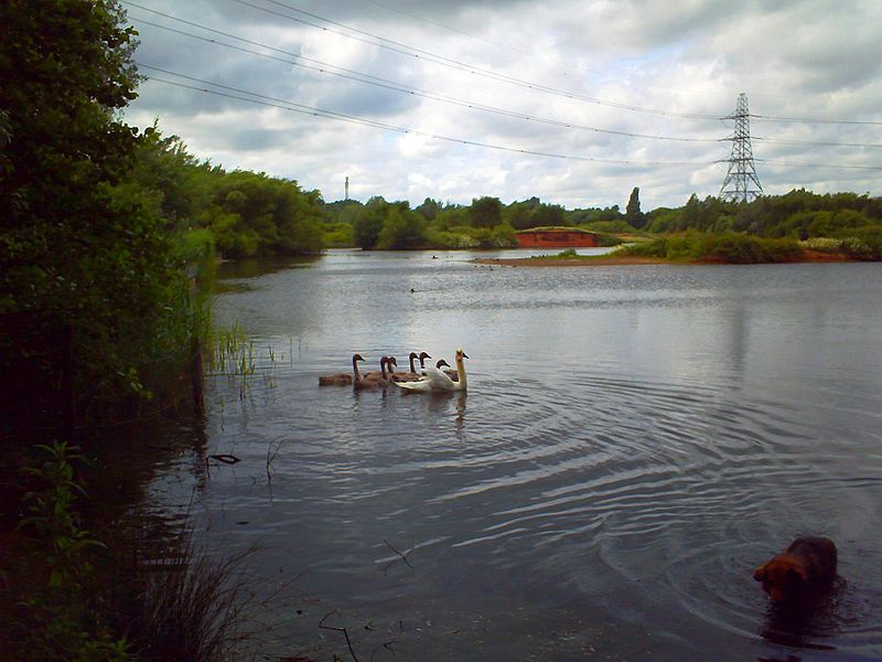
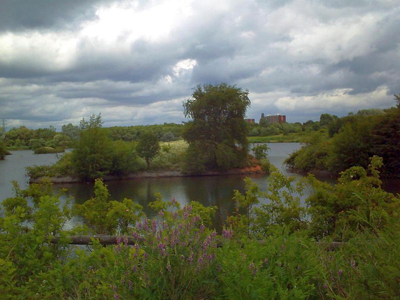
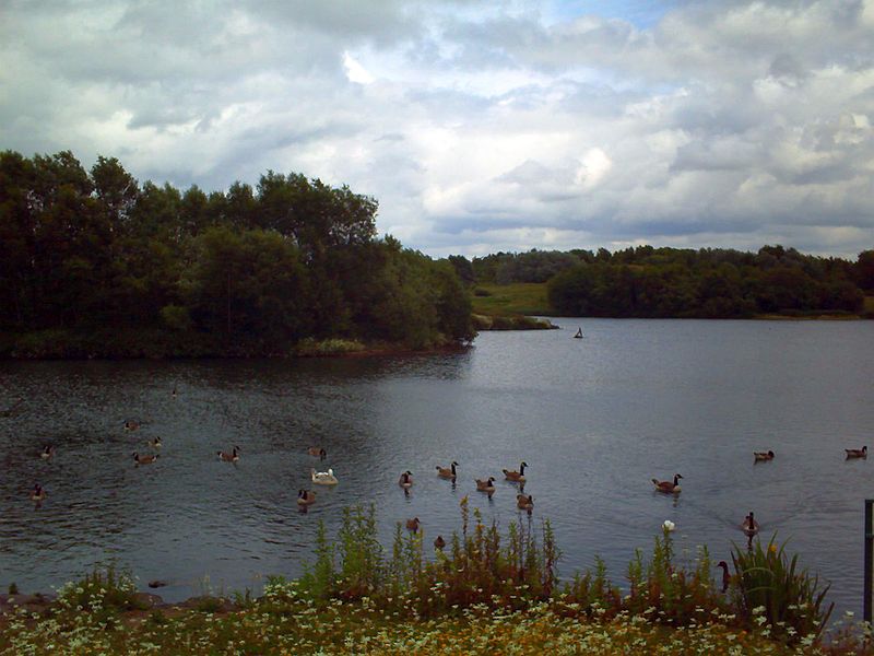
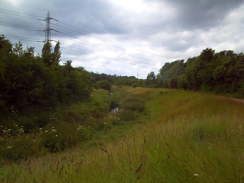
Sheepwash Urban Park is a Local Nature Reserve, situated in Sandwell Metropolitan Borough, in the West Midlands conurbation of the United Kingdom. It forms part of the Black Country Urban Forest. ()
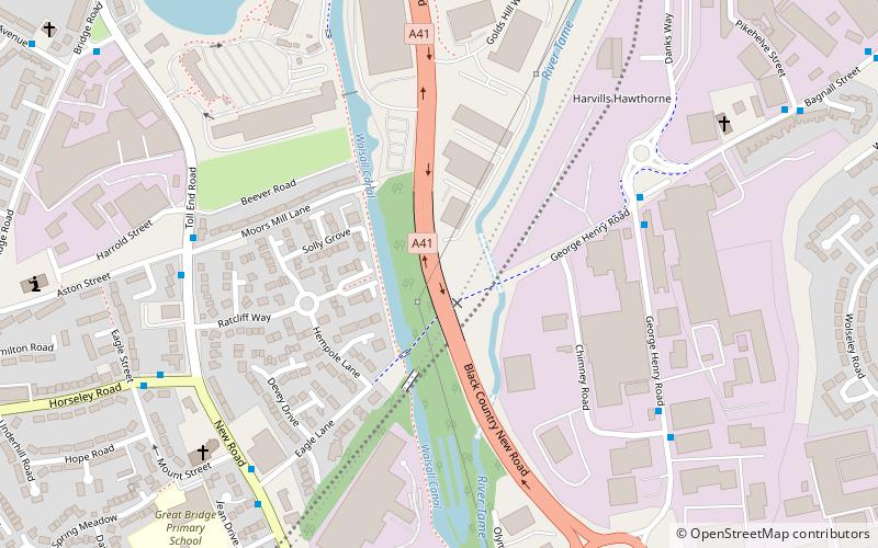
Elevation: 397 ft a.s.l.Coordinates: 52°31'24"N, 2°2'11"W
Address
Sandwell (Great Bridge)Birmingham
ContactAdd
Social media
Add
Day trips
Sheepwash Urban Park – popular in the area (distance from the attraction)
Nearby attractions include: Shri Venkateswara Temple, Wednesbury Oak Loop, Victoria Park, Black Country.
Frequently Asked Questions (FAQ)
Which popular attractions are close to Sheepwash Urban Park?
Nearby attractions include Horseley Heath, West Bromwich (13 min walk), Stour Valley Line, Birmingham (14 min walk), Wednesbury Old Canal, Birmingham (16 min walk), Shri Venkateswara Temple, Birmingham (19 min walk).
How to get to Sheepwash Urban Park by public transport?
The nearest stations to Sheepwash Urban Park:
Bus
Train
Tram
Bus
- Whitehall Rd / Farley St • Lines: 43, 43A (9 min walk)
Train
- Dudley Port (15 min walk)
- Sandwell and Dudley (38 min walk)
Tram
- Dudley Street, Guns Village • Lines: 1 (31 min walk)
- Black Lake • Lines: 1 (31 min walk)


