Trecenydd, Caerphilly

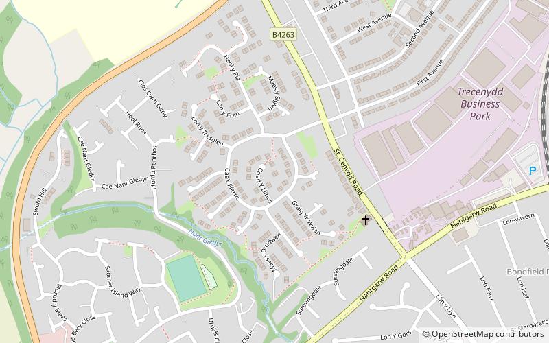
Map
Facts and practical information
Trecenydd is a residential area in Caerphilly, Wales, United Kingdom. ()
Coordinates: 51°34'34"N, 3°14'20"W
Address
Caerphilly
ContactAdd
Social media
Add
Day trips
Trecenydd – popular in the area (distance from the attraction)
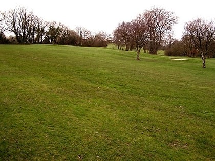
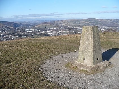
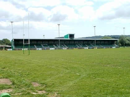
Nearby attractions include: Caerphilly Castle, Caerphilly Golf Club, Caerphilly mountain, Virginia Park.
Frequently Asked Questions (FAQ)
How to get to Trecenydd by public transport?
The nearest stations to Trecenydd:
Train
Bus
Train
- Aber (10 min walk)
- Energlyn & Churchill Park (19 min walk)
Bus
- Caerphilly Interchange (25 min walk)


