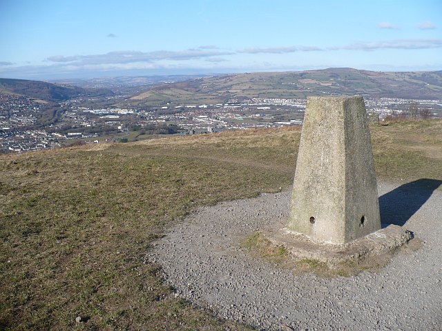
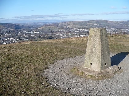
Caerphilly mountain, Caerphilly
Map

Gallery

Facts and practical information
Caerphilly Mountain lies between Cardiff and Caerphilly at the southern edge of the South Wales Coalfield. Its summit is 271 metres above sea-level. ()
Elevation: 863 ft a.s.l.Coordinates: 51°33'44"N, 3°13'24"W
Address
Mountain RoadCaerphilly CF83 1JA
ContactAdd
Social media
Add
Day trips
Caerphilly mountain – popular in the area (distance from the attraction)
Nearby attractions include: Caerphilly Castle, Caerphilly Golf Club, Morgraig Castle, Craig yr Allt.
Frequently Asked Questions (FAQ)
When is Caerphilly mountain open?
Caerphilly mountain is open:
- Monday 7:30 am - 5 pm
- Tuesday 7:30 am - 5 pm
- Wednesday 7:30 am - 5 pm
- Thursday 7:30 am - 5 pm
- Friday 7:30 am - 5 pm
- Saturday 7:30 am - 5 pm
- Sunday 7:30 am - 5 pm
How to get to Caerphilly mountain by public transport?
The nearest stations to Caerphilly mountain:
Train
Bus
Train
- Caerphilly (17 min walk)
- Aber (24 min walk)
Bus
- Caerphilly Interchange (18 min walk)


