St. Peters RFC, Cardiff

Map
Facts and practical information
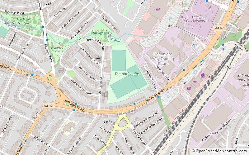
St Peters Rugby Football Club is a rugby union team from the district of Roath, in Cardiff, South Wales. The club plays their home games at the Harlequins Playing Field, located off Newport Road. It is a member of the Welsh Rugby Union, and is a feeder club for the Cardiff Blues. ()
Founded: 1886 (140 years ago)Elevation: 30 ft a.s.l.Coordinates: 51°29'33"N, 3°9'1"W
Day trips
St. Peters RFC – popular in the area (distance from the attraction)
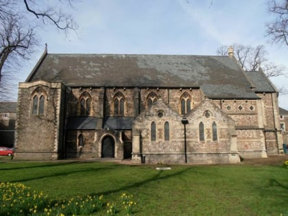
Nearby attractions include: Eglwys Dewi Sant, St Alban-on-the-Moors Church, City United Reformed Church, St Peter's Church.
Frequently Asked Questions (FAQ)
Which popular attractions are close to St. Peters RFC?
Nearby attractions include Parkminster United Reformed Church, Cardiff (3 min walk), St Margaret's Church, Cardiff (5 min walk), Roath, Cardiff (8 min walk), Infinity Trampoline Park Cardiff, Cardiff (11 min walk).
How to get to St. Peters RFC by public transport?
The nearest stations to St. Peters RFC:
Bus
Train
Bus
- Waterloo Road/Waterloo Gardens • Lines: 1, 2 (7 min walk)
- Timbers Square • Lines: 1 (7 min walk)
Train
- Cardiff Queen Street (29 min walk)


