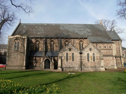
Eglwys Dewi Sant, Cardiff
Map
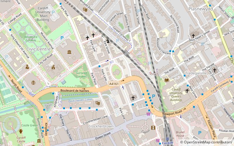
Map

Facts and practical information
Eglwys Dewi Sant is a Grade II listed church building in the centre of Cardiff, Wales. It is the only church in the Diocese of Llandaff to conduct its services exclusively in the Welsh language. ()
Architectural style: Gothic revivalCoordinates: 51°29'6"N, 3°10'27"W
Address
St. Andrews CrescentCanol Dinas Caerdydd (Cathays)Cardiff CF10 3DD
Contact
+44 29 2056 3834
Social media
Add
Day trips
Eglwys Dewi Sant – popular in the area (distance from the attraction)
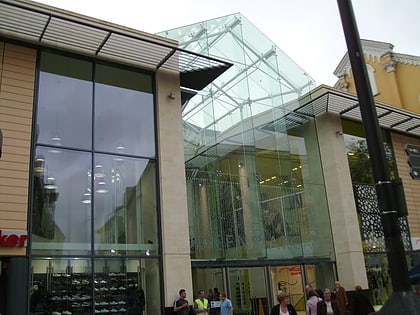
Nearby attractions include: Queen Street, National Museum Cardiff, St David's, Cathays Park.
Frequently Asked Questions (FAQ)
Which popular attractions are close to Eglwys Dewi Sant?
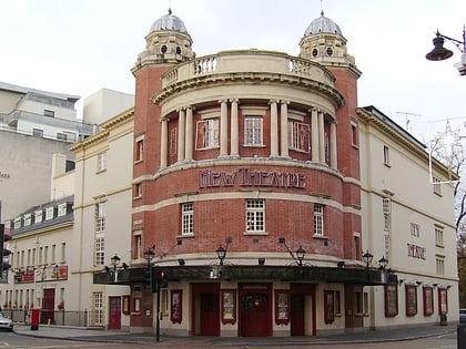
Nearby attractions include Park House, Cardiff (2 min walk), City United Reformed Church, Cardiff (3 min walk), New Theatre, Cardiff (3 min walk), National Museum Cardiff, Cardiff (5 min walk).
How to get to Eglwys Dewi Sant by public transport?
The nearest stations to Eglwys Dewi Sant:
Bus
Train
Bus
- Dumfries Place • Lines: 28, 8 (4 min walk)
- Greyfriars Road • Lines: 28, 8 (4 min walk)
Train
- Cardiff Queen Street (7 min walk)
- Cathays (9 min walk)
