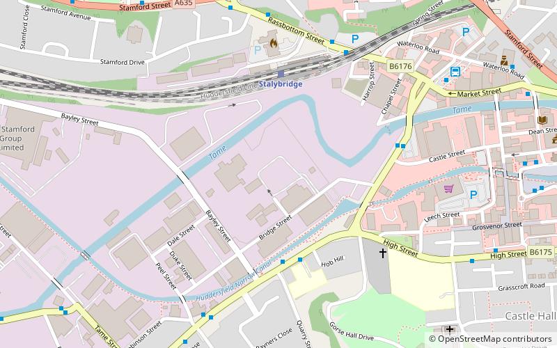
Stalybridge Mill, Stalybridge
Map
Facts and practical information
Stalybridge Mill, Stalybridge is a cotton spinning mill in Stalybridge, Tameside, Greater Manchester, England. It was built in 1868, and the engine reconfigured in around 1925. It was taken over by the Lancashire Cotton Corporation in the 1930s and passed to Courtaulds in 1964. ()
Coordinates: 53°28'56"N, 2°3'51"W
Address
Tameside (Dukinfield Stalybridge)Stalybridge
ContactAdd
Social media
Add
Day trips


Frequently Asked Questions (FAQ)
Which popular attractions are close to Stalybridge Mill?
Nearby attractions include Armentieres Square, Stalybridge (8 min walk), St George's Church, Stalybridge (12 min walk), St John's Church, Ashton-under-Lyne (13 min walk), Stamford Park, Stalybridge (15 min walk).