Dukinfield Town Hall, Ashton-under-Lyne
Map
Facts and practical information
Dukinfield Town Hall is a municipal building in King Street, Dukinfield, Greater Manchester, England. The town hall, which was the headquarters of Dukinfield Borough Council, is a grade II listed building. ()
Coordinates: 53°28'40"N, 2°5'32"W
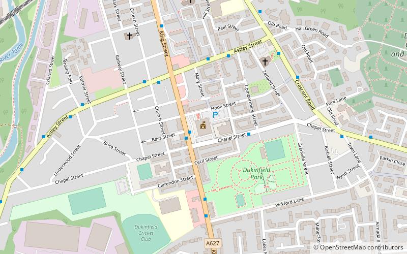
Address
King StreetTameside (Dukinfield)Ashton-under-Lyne
ContactAdd
Social media
Add
Getting there by public transportation
Public transportation stops near this location
- Bus
- Tram
- Train
 Bus
Bus
- Calculate routeDukinfield, King Street / Dukinfield Town Hall 1 min walk
- Calculate routeAshton-under-Lyne 23 min walk
- Calculate routeAshton West 29 min walk
- Calculate routeGuide Bridge 24 min walk
- Calculate routeAshton-under-Lyne 24 min walk
- Calculate routeHyde North 25 min walk
- Calculate routeStalybridge 32 min walk
Day trips


Frequently Asked Questions (FAQ)
Which popular attractions are close to Dukinfield Town Hall?
Nearby attractions include Dukinfield, Ashton-under-Lyne (5 min walk), Outer Pennine Ring, Ashton-under-Lyne (12 min walk), Ashton Canal, Ashton-under-Lyne (12 min walk), Dukinfield Junction, Ashton-under-Lyne (13 min walk).
How to get to Dukinfield Town Hall by public transport?
The nearest stations to Dukinfield Town Hall:
Bus
Tram
Train
Bus
- Dukinfield, King Street / Dukinfield Town Hall • Lines: 330 (1 min walk)
Tram
- Ashton-under-Lyne • Lines: Asht, Eccl, Mcuk (23 min walk)
- Ashton West • Lines: Asht, Eccl, Mcuk (29 min walk)
Train
- Guide Bridge (24 min walk)
- Ashton-under-Lyne (24 min walk)