Glastonbury Canal, Tealham and Tadham Moors
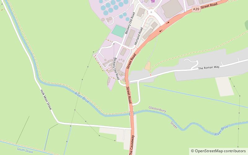
Map
Facts and practical information
The medieval Glastonbury canal was built in about the middle of the 10th century to link the River Brue at Northover with Glastonbury Abbey, a distance of about 1.75 kilometres. Its initial purpose is believed to be the transport of building stone for the abbey, but later it was used for delivering produce, including grain, wine and fish, from the abbey's outlying properties. It remained in use until at least the 14th century, but possibly as late as the mid-16th century. English Heritage assess the canal remains, based on a "provisional" interpretation, as a site of "national importance". ()
Coordinates: 51°8'18"N, 2°44'9"W
Address
Tealham and Tadham Moors
ContactAdd
Social media
Add
Day trips


Frequently Asked Questions (FAQ)
Which popular attractions are close to Glastonbury Canal?
Nearby attractions include Church of the Holy Trinity, Street (13 min walk), Strode Theatre, Street (15 min walk), Strode College, Street (16 min walk), The Shoe Museum, Street (18 min walk).