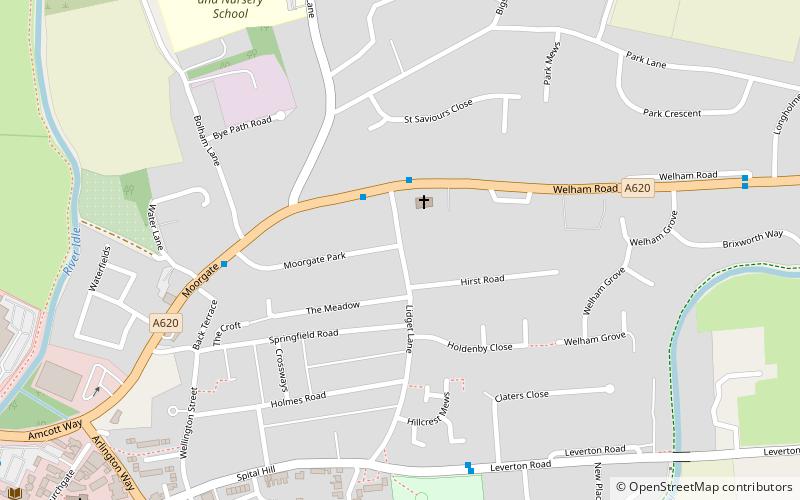
St Saviour's Church, Retford
Map

Map

Facts and practical information
St Saviour's Church, Retford is a Grade II* listed parish church in the Church of England in Retford. ()
Completed: 1829 (197 years ago)Coordinates: 53°19'39"N, 0°56'2"W
Day trips
St Saviour's Church – popular in the area (distance from the attraction)
Nearby attractions include: Bassetlaw Museum, Retford Town Hall, St Michael the Archangel's Church, Trinity Hospital Retford.
Frequently Asked Questions (FAQ)
Which popular attractions are close to St Saviour's Church?
Nearby attractions include St Swithun's Church, Retford (10 min walk), Bassetlaw Museum, Retford (11 min walk), Retford Town Hall, Retford (14 min walk), St Michael the Archangel's Church, Retford (15 min walk).


