Borough of Ashford, Ashford

Gallery (1)
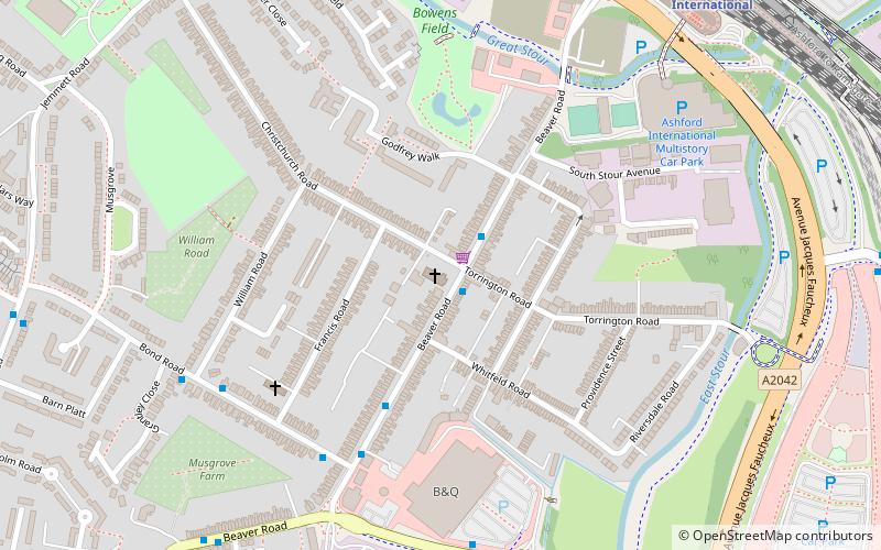
Map

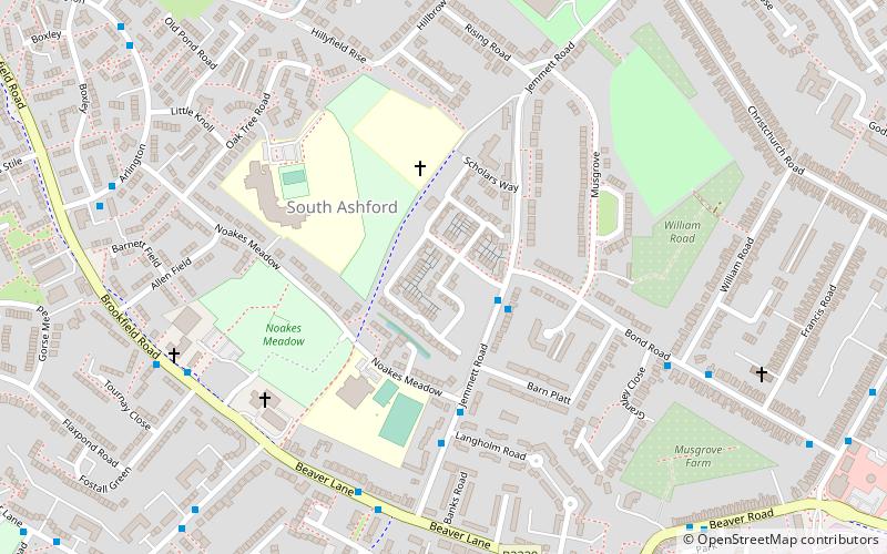
Map
Facts and practical information
The Borough of Ashford is a local government district with borough status in Kent, England. It borders five other Kent districts, as well as East Sussex to the south-west. Ashford Borough Council's main offices are in the town of Ashford. The borough was formed on 1 April 1974, by the merger of the then Borough of Tenterden with Ashford urban district as well as the Rural Districts of East Ashford, West Ashford and Tenterden. Covering 58,000 hectares, it is the largest district by area in Kent. ()
Getting there by public transportation
Public transportation stops near this location
- Bus
- Train
 Bus
Bus
- Calculate routeCounty Square 3 min walk
- Calculate routeBeaver Road Bridge 8 min walk
- Calculate routeAshford International Railway Station 11 min walk
- Calculate routeWellesley Road 11 min walk
- Calculate routeAshford International 11 min walk
Day trips


Frequently Asked Questions (FAQ)
Which popular attractions are close to Borough of Ashford?
Nearby attractions include Christ Church, Ashford (13 min walk), Ashford Green Corridors, Ashford (13 min walk), Ashford College, Ashford (15 min walk), Ashford Green Corridor, Ashford (19 min walk).
How to get to Borough of Ashford by public transport?
The nearest stations to Borough of Ashford:
Bus
Train
Bus
- County Square • Lines: 10 (3 min walk)
- Beaver Road Bridge • Lines: 666 (8 min walk)
Train
- Ashford International (11 min walk)