Ashford College, Ashford
Map
Facts and practical information
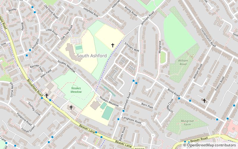
Ashford College is a further education college in Ashford, Kent founded in August 2014. It is run by EKC Group, after it was acquired from the West Kent and Ashford College corporation. Susan Bonett became Principal of the College in 2021, replacing Victoria Copp-Crawley. Its campus is based at Elwick Road In April 2020, Ashford College was acquired by EKC Group. ()
Coordinates: 51°8'22"N, 0°51'38"E
Getting there by public transportation
Public transportation stops near this location
- Bus
- Train
 Bus
Bus
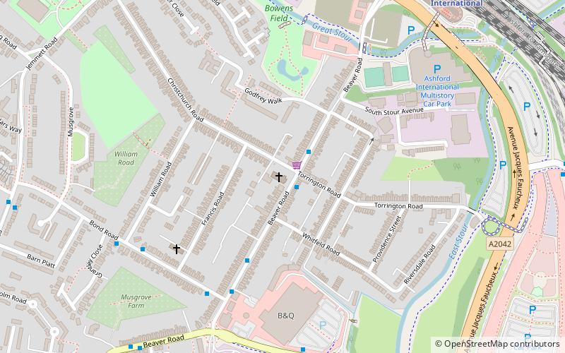
- Calculate routeBeaver Road Bridge 17 min walk
- Calculate routeCounty Square 17 min walk
- Calculate routeAshford International Railway Station 19 min walk
- Calculate routeWellesley Road 25 min walk
- Calculate routeAshford International 18 min walk
Day trips


Frequently Asked Questions (FAQ)
Which popular attractions are close to Ashford College?
Nearby attractions include Christ Church, Ashford (11 min walk), Borough of Ashford, Ashford (15 min walk), Ashford Green Corridors, Ashford (17 min walk).
How to get to Ashford College by public transport?
The nearest stations to Ashford College:
Bus
Train
Bus
- Beaver Road Bridge • Lines: 666 (17 min walk)
- County Square • Lines: 10 (17 min walk)
Train
- Ashford International (18 min walk)