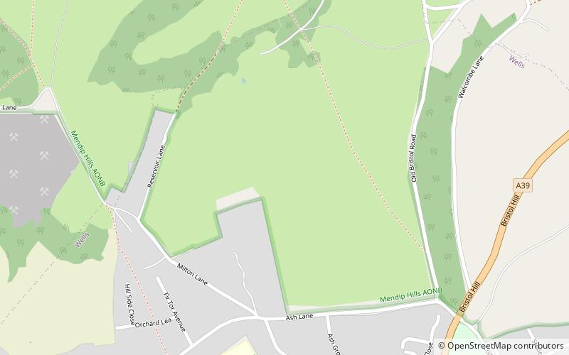
Milton Lodge, Wells
Map

Map

Facts and practical information
Milton Lodge is a house and garden overlooking the city of Wells in the English county of Somerset. ()
Elevation: 315 ft a.s.l.Coordinates: 51°13'5"N, 2°39'4"W
Day trips
Milton Lodge – popular in the area (distance from the attraction)
Nearby attractions include: Wells Cathedral, Wookey Hole Caves, Bishop's Palace, Wells Town Hall.
Frequently Asked Questions (FAQ)
Which popular attractions are close to Milton Lodge?
Nearby attractions include Cedars Hall, Wells (11 min walk), Wells Cathedral School, Wells (12 min walk), Vicars' Close, Wells (14 min walk), Wells and Mendip Museum, Wells (15 min walk).
How to get to Milton Lodge by public transport?
The nearest stations to Milton Lodge:
Bus
Bus
- Wells Bus Station • Lines: 29 (19 min walk)


