St James the Greater, Leicester
Map

Map

Facts and practical information
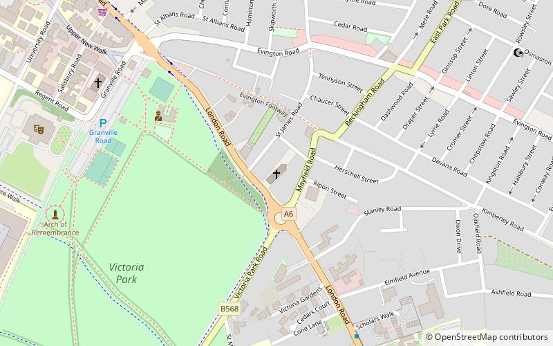
St James the Greater, Leicester is a Grade II* listed parish church in the Church of England in Leicester, Leicestershire. It is located south of the city centre of Leicester, on the London Road, opposite Victoria Park. ()
Completed: 24 September 1914 (111 years ago)Coordinates: 52°37'27"N, 1°6'53"W
Address
216 London RdLeicester South (Stoneygate)Leicester LE2 1NE
Contact
+44 116 254 2111
Social media
Add
Day trips
St James the Greater – popular in the area (distance from the attraction)
Nearby attractions include: Welford Road Stadium, Victoria Park, Phoenix Square, Leicester Museum & Art Gallery.
Frequently Asked Questions (FAQ)
Which popular attractions are close to St James the Greater?
Nearby attractions include Victoria Park, Leicester (6 min walk), Arch of Remembrance, Leicester (8 min walk), De Montfort Hall, Leicester (9 min walk), Evington Valley, Leicester (10 min walk).
How to get to St James the Greater by public transport?
The nearest stations to St James the Greater:
Train
Bus
Train
- Leicester (17 min walk)
Bus
- Haymarket Bus Station (31 min walk)
- St Nicholas Circle • Lines: 103, 104 (34 min walk)


