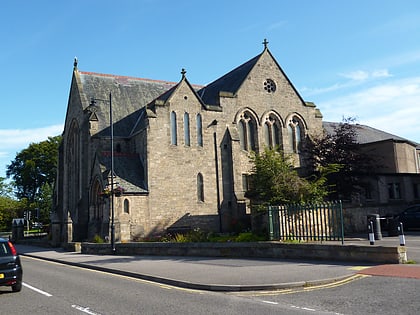
Politics of the Highland council area, Inverness
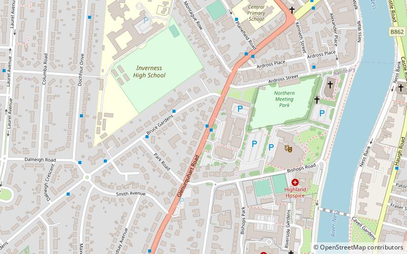
Map
Facts and practical information
The politics of the Highland council area in Scotland are evident in the deliberations and decisions of the Highland Council, in elections to the council, and in elections to the House of Commons of the Parliament of the United Kingdom and the Scottish Parliament. In the European Parliament the area was within the Scotland constituency, which covers all of the 32 council areas of Scotland. ()
Coordinates: 57°28'25"N, 4°14'4"W
Day trips
Politics of the Highland council area – popular in the area (distance from the attraction)
Nearby attractions include: Eastgate Shopping Centre, Inverness Castle, St Mary's Catholic Church, Greig Street Bridge.
Frequently Asked Questions (FAQ)
Which popular attractions are close to Politics of the Highland council area?
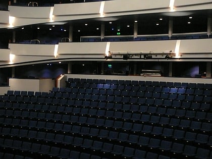
Nearby attractions include Eden Court Theatre, Inverness (4 min walk), Inverness Cathedral, Inverness (6 min walk), St Mary's Catholic Church, Inverness (9 min walk), Dalneigh, Inverness (10 min walk).
How to get to Politics of the Highland council area by public transport?
The nearest stations to Politics of the Highland council area:
Bus
Train
Bus
- Council Buildings • Lines: 917 (1 min walk)
- Montague Row • Lines: 917 (4 min walk)
Train
- Inverness (16 min walk)


