Dale Street, Liverpool
Map
Gallery
Facts and practical information
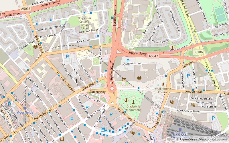
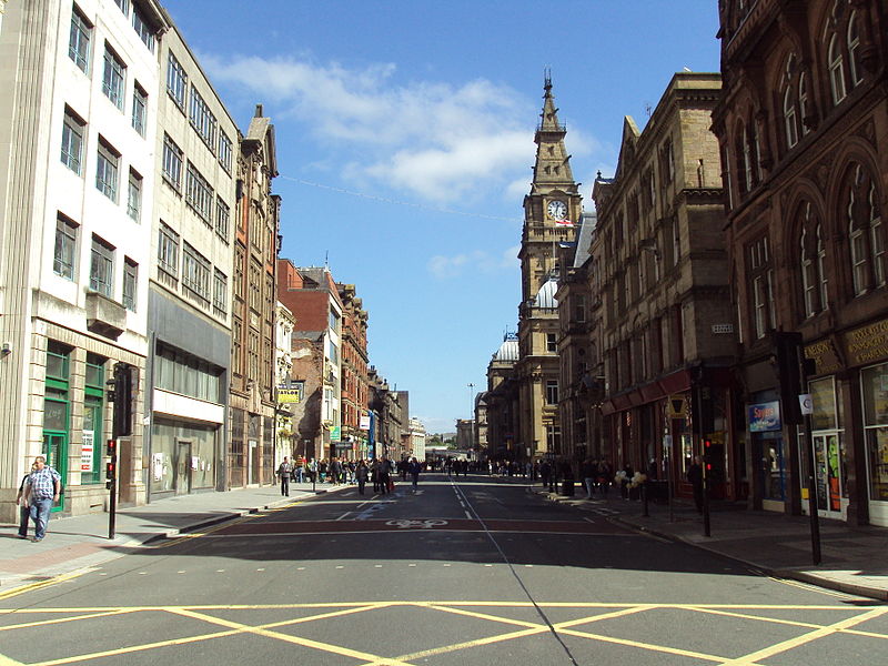
Dale Street is a thoroughfare in Liverpool, England, in the Commercial Centre conservation area. The street together with Castle Street, Old Hall Street, Victoria Street and Water Street are the main commercial streets and occupy an area of the medieval town of Liverpool. It contains many Grade II listed buildings. ()
Coordinates: 53°24'37"N, 2°58'57"W
Address
Central LiverpoolLiverpool
ContactAdd
Social media
Add
Day trips
Dale Street – popular in the area (distance from the attraction)
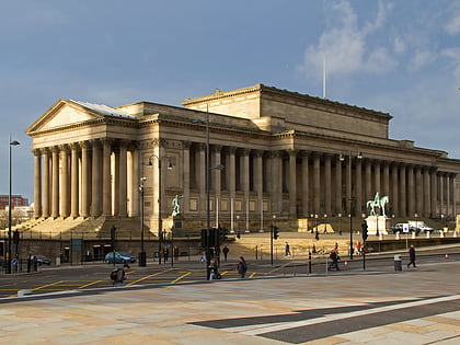
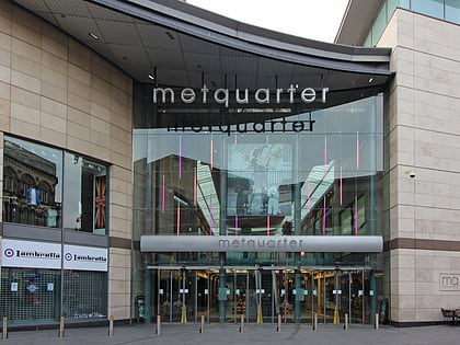
Nearby attractions include: World Museum, St George's Hall, Walker Art Gallery, Metquarter.
Frequently Asked Questions (FAQ)
Which popular attractions are close to Dale Street?
Nearby attractions include World Museum, Liverpool (2 min walk), William Brown Library and Museum, Liverpool (2 min walk), Liverpool Central Library, Liverpool (3 min walk), Picton Reading Room and Hornby Library, Liverpool (3 min walk).
How to get to Dale Street by public transport?
The nearest stations to Dale Street:
Bus
Train
Tram
Bus
- Queen Square Bus Station • Lines: 18, 79C (5 min walk)
- Crosshall St/stop Cx • Lines: 18 (5 min walk)
Train
- Liverpool Lime Street (7 min walk)
- Moorfields (8 min walk)
Tram
- Woodside Ferry • Lines: Wirral Tramway (40 min walk)

