Draycott Sleights
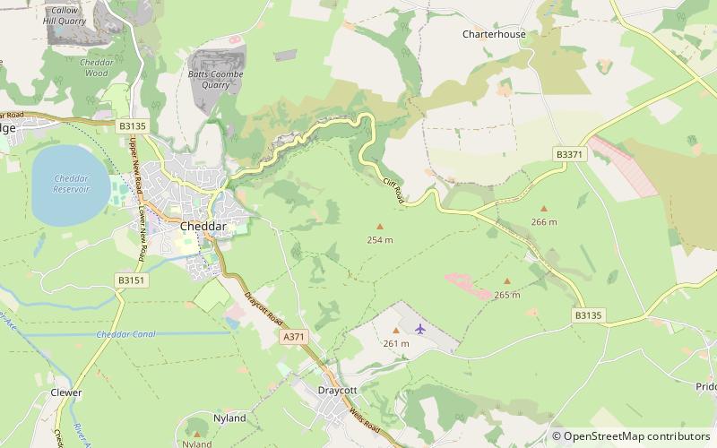
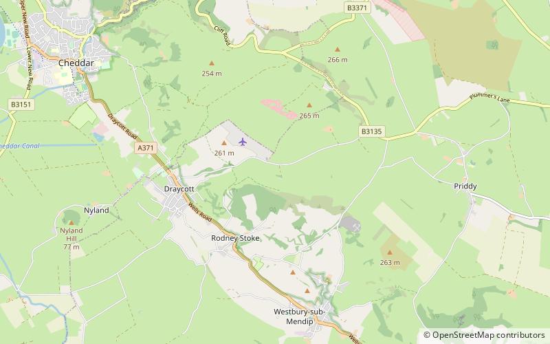
Map
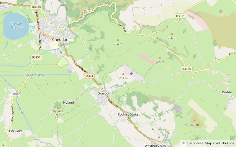
Map

Facts and practical information
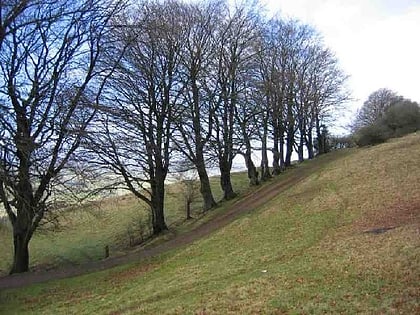
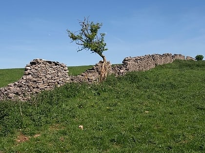
Draycott Sleights is a 61.95 hectares biological Site of Special Scientific Interest at Draycott in the Mendip Hills, Somerset, England, notified in 1987. The name is pronounced locally as "Slates", presumably a variation on the Saxon word Slade meaning amongst other things hillside, rather than in the same manner as the Yorkshire place of the same spelling. ()
Elevation: 702 ft a.s.l.Coordinates: 51°15'46"N, 2°44'34"W
Location
England
ContactAdd
Social media
Add
Best Ways to Experience the Park
Wildlife
AnimalsSee what popular animal species you can meet in this location.
More
Day trips
Draycott Sleights – popular in the area (distance from the attraction)
Nearby attractions include: Cheddar Complex, Perch SSSI, Kingdown and Middledown, Westbury Camp.
