Rodney Stoke SSSI, Cheddar
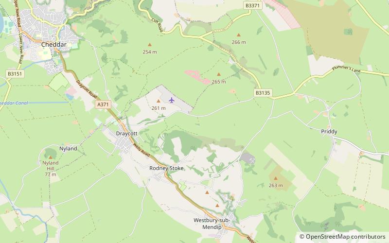
Map
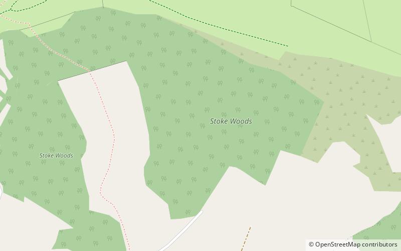
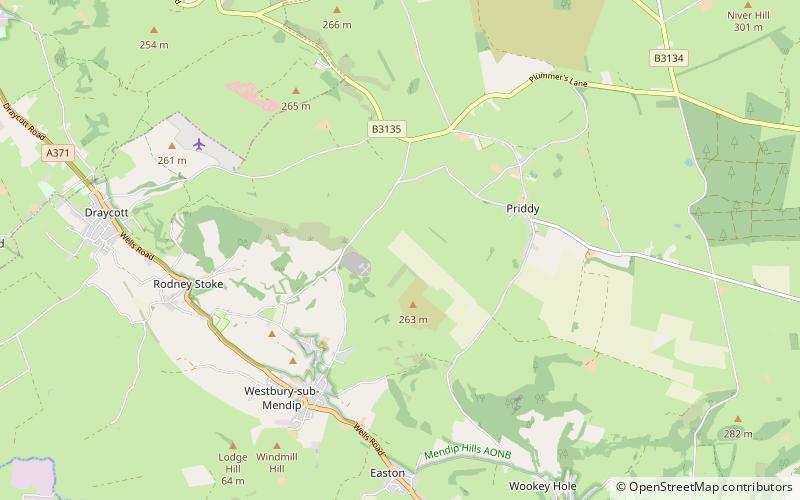
Map

Facts and practical information
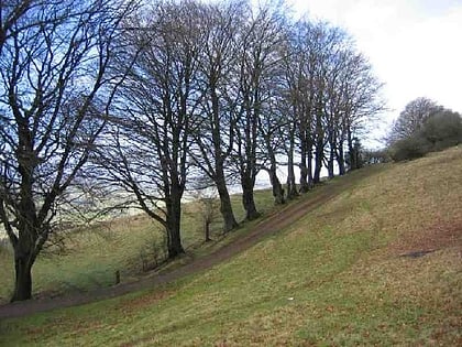
Rodney Stoke is a 69.6 hectare biological Site of Special Scientific Interest, just north of the village of Rodney Stoke in the Mendip Hills, Somerset, notified in 1957. ()
Coordinates: 51°15'12"N, 2°43'45"W
Address
Cheddar
ContactAdd
Social media
Add
Day trips
Rodney Stoke SSSI – popular in the area (distance from the attraction)
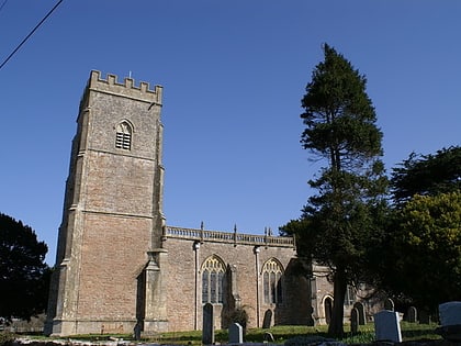
Nearby attractions include: Draycott Sleights, Church of St Leonard, Westbury Camp, Brimble Pit and Cross Swallet Basins.
Frequently Asked Questions (FAQ)
Which popular attractions are close to Rodney Stoke SSSI?
Nearby attractions include Westbury Camp, Cheddar (10 min walk), Church of St Leonard, Cheddar (20 min walk).

