Southern Fells, Lake District National Park
Map

Gallery

Facts and practical information
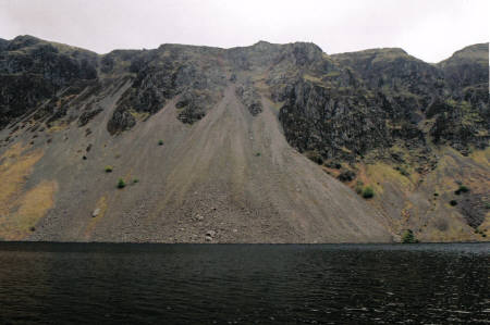
The Southern Fells are a group of hills in the English Lake District. Including Scafell Pike, the highest peak in England, they occupy a broad area to the south of Great Langdale, Borrowdale and Wasdale. High and rocky towards the centre of the Lake District, the Southern Fells progressively take on a moorland character toward the south-west. In the south-east are the well-known Furness Fells, their heavily quarried flanks rising above Coniston Water. ()
Coordinates: 54°28'16"N, 3°8'38"W
Address
Lake District National Park
ContactAdd
Social media
Add
Day trips
Southern Fells – popular in the area (distance from the attraction)
Nearby attractions include: Loft Crag, Angle Tarn, Pike of Stickle, Rossett Pike.
Frequently Asked Questions (FAQ)
Which popular attractions are close to Southern Fells?
Nearby attractions include Scafells, Lake District National Park (1 min walk), Rossett Pike, Lake District National Park (23 min walk).


