Pike of Stickle, Lake District National Park
Map

Gallery

Facts and practical information
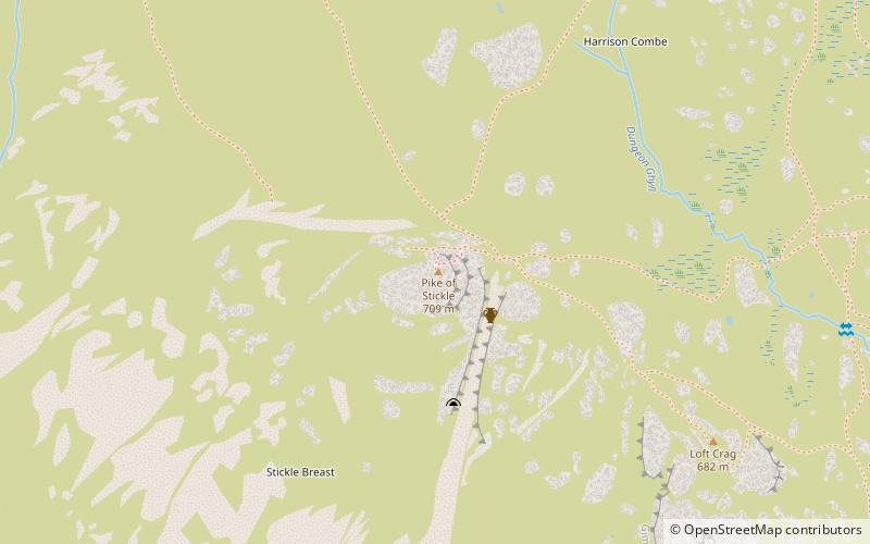
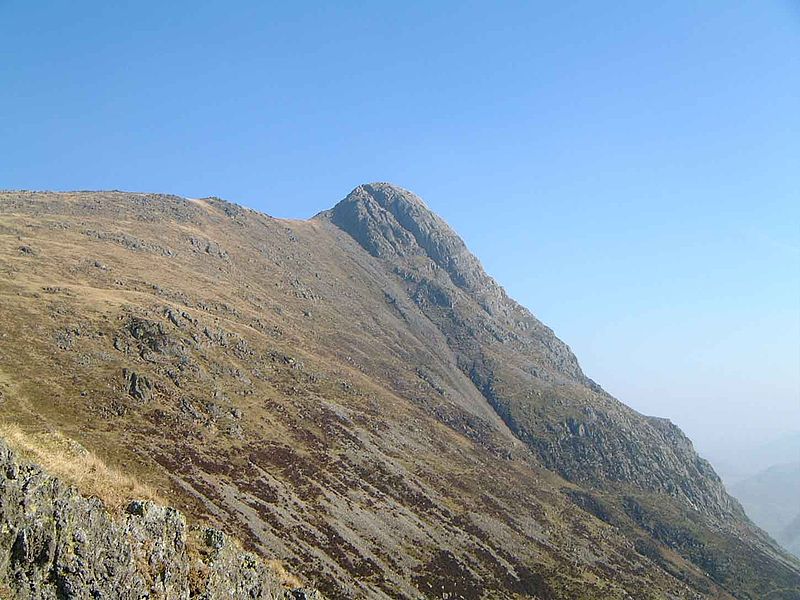
Pike of Stickle, also known as Pike o’ Stickle, is a fell in the English Lake District. It reaches a height of 709 metres and is situated in the central part of the national park in the valley of Great Langdale. The fell is one of three fells which make up the picturesque Langdale Pikes, one of the best-known areas in Lakeland. A "stickle" is a hill with a steep prominent rocky top, while a "pike" is a hill with a peaked summit, the name being therefore partly tautological. ()
Elevation: 2326 ftProminence: 177 ftCoordinates: 54°27'23"N, 3°7'17"W
Address
Lake District National Park
ContactAdd
Social media
Add
Day trips
Pike of Stickle – popular in the area (distance from the attraction)
Nearby attractions include: Pavey Ark, Stickle Tarn, Loft Crag, Harrison Stickle.
Frequently Asked Questions (FAQ)
Which popular attractions are close to Pike of Stickle?
Nearby attractions include Thunacar Knott, Grasmere (14 min walk), Stickle Tarn, Elterwater (22 min walk).
How to get to Pike of Stickle by public transport?
The nearest stations to Pike of Stickle:
Bus
Bus
- Old Dungeon Ghyll Hotel • Lines: 516 (29 min walk)


