St. George's Square, Barrow-in-Furness
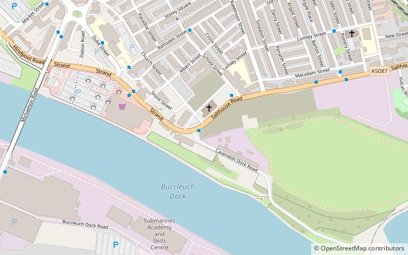
Map
Facts and practical information
St. George's Square, in Barrow-in-Furness, Cumbria, England is a public space that acted as the centre of the town during the late 19th century. The square now lies in the southernmost fringes of the Central ward close to the Port of Barrow. ()
Coordinates: 54°6'29"N, 3°13'16"W
Address
Barrow-in-Furness
ContactAdd
Social media
Add
Getting there by public transportation
Public transportation stops near this location
- Train
 Train
Train
- Calculate routeBarrow-in-Furness 21 min walk
- Calculate routeRoose 31 min walk
Day trips
St. George's Square – popular in the area (distance from the attraction)
Nearby attractions include: Portland Walk Shopping Centre, Barrow-in-Furness Town Hall, St George's Church, The Forum.


Frequently Asked Questions (FAQ)
Which popular attractions are close to St. George's Square?
Nearby attractions include St George's Church, Barrow-in-Furness (1 min walk), Schneider Square, Barrow-in-Furness (7 min walk), Michaelson Road Bridge, Barrow-in-Furness (8 min walk), Salthouse, Barrow-in-Furness (9 min walk).
How to get to St. George's Square by public transport?
The nearest stations to St. George's Square:
Train
Train
- Barrow-in-Furness (21 min walk)
- Roose (31 min walk)