Bath and North East Somerset, Bath
Map

Map

Facts and practical information
Bath and North East Somerset is a unitary authority district in England. Bath and North East Somerset Council was created on 1 April 1996 following the abolition of the county of Avon. It is part of the ceremonial county of Somerset. ()
Day trips
Bath and North East Somerset – popular in the area (distance from the attraction)
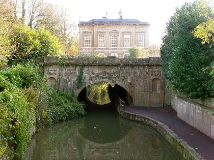
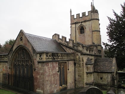
Nearby attractions include: Sydney Gardens Tunnels, Claverton Pumping Station, Sham Castle, Church of St Nicholas.
Frequently Asked Questions (FAQ)
Which popular attractions are close to Bath and North East Somerset?
Nearby attractions include Bathampton Down, Cotswold Water Park (13 min walk), Church of St Nicholas, Bath (14 min walk), Bathampton Toll Bridge, Bath (22 min walk), University of Bath, Bath (23 min walk).
How to get to Bath and North East Somerset by public transport?
The nearest stations to Bath and North East Somerset:
Bus
Bus
- Arrivals Square • Lines: 18, 418, U18 (21 min walk)
- The Avenue • Lines: U18 (26 min walk)


