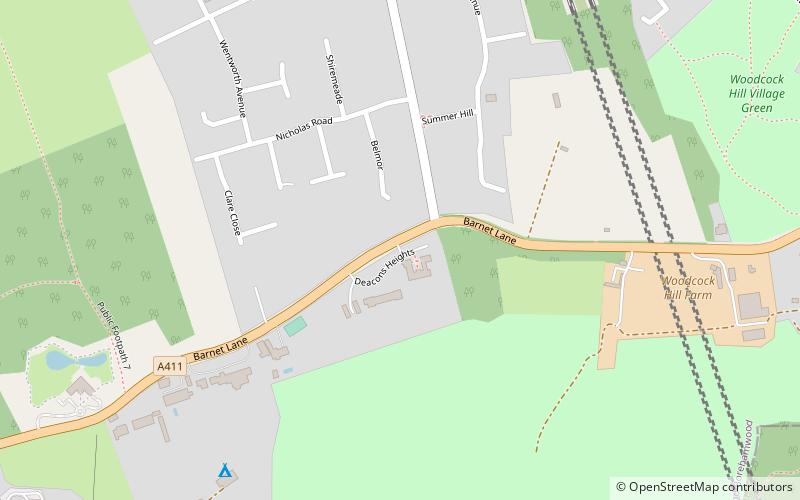
Elstree, London
Map
Gallery
Facts and practical information
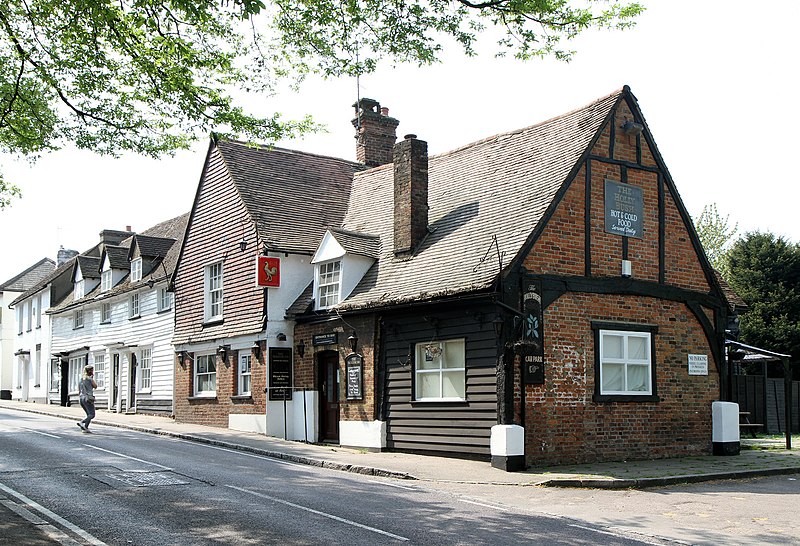
Elstree is a large village in the Hertsmere borough of Hertfordshire, England. It is about 15 miles northwest of central London on the former A5 road, that follows the course of Watling Street. In 2011, its population was 5,110. It forms part of the civil parish of Elstree and Borehamwood, originally known simply as Elstree. ()
Address
London
ContactAdd
Social media
Add
Day trips
Elstree – popular in the area (distance from the attraction)
Nearby attractions include: Aldenham Reservoir, Aldenham Country Park, Edgwarebury Park, Woodcock Hill Village Green.
Frequently Asked Questions (FAQ)
Which popular attractions are close to Elstree?
Nearby attractions include Aldenham Reservoir, Borehamwood (17 min walk), Aldenham Country Park, Borehamwood (21 min walk), Deacon's Hill, Borehamwood (23 min walk).
How to get to Elstree by public transport?
The nearest stations to Elstree:
Bus
Train
Bus
- Sullivan Way • Lines: 107 (3 min walk)
- Rodgers Close • Lines: 107 (5 min walk)
Train
- Elstree & Borehamwood (32 min walk)



 Tube
Tube


