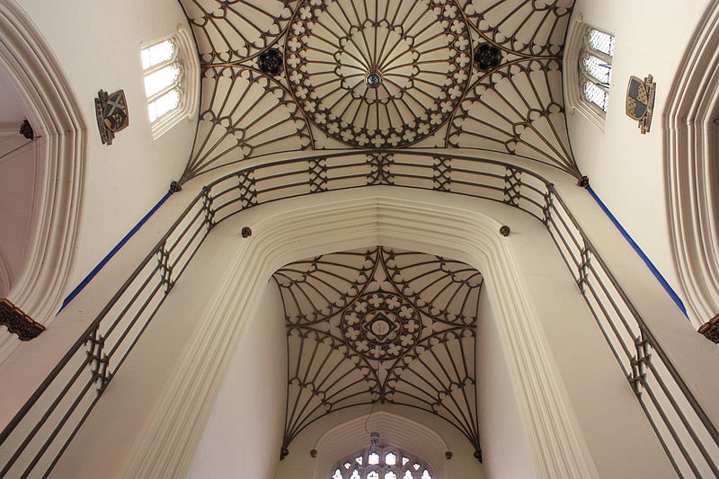
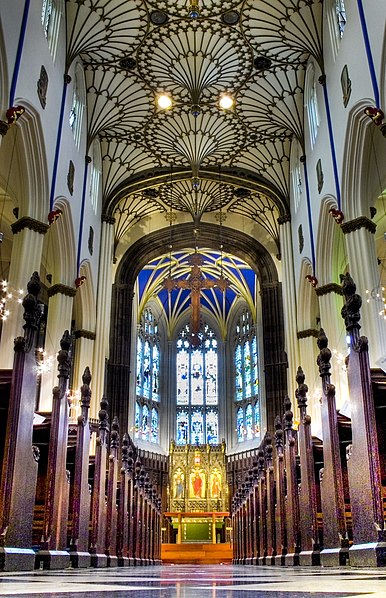
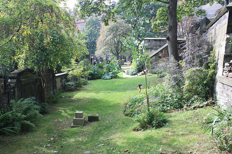
Church of St John the Evangelist, Edinburgh
Map
Gallery
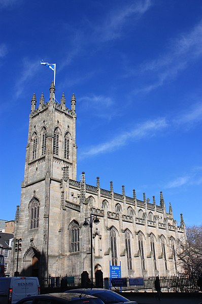
Facts and practical information
The Church of St John the Evangelist is a Scottish Episcopal church in the centre of Edinburgh, Scotland. It is sited at the west end of Princes Street at its junction with Lothian Road, and is protected as a category A listed building. ()
Coordinates: 55°57'0"N, 3°12'23"W
Address
Princes St.Old Town (Edinburgh Castle)Edinburgh EH 2 4
Contact
+44 131 229 7565
Social media
Add
Day trips
Church of St John the Evangelist – popular in the area (distance from the attraction)
Nearby attractions include: Princes Street, Edinburgh Castle, George Street, Princes Street Gardens.
Frequently Asked Questions (FAQ)
Which popular attractions are close to Church of St John the Evangelist?
Nearby attractions include St Cuthbert's Church, Edinburgh (2 min walk), Charlotte Chapel, Edinburgh (3 min walk), Charlotte Square, Edinburgh (4 min walk), Ross Fountain, Edinburgh (4 min walk).
How to get to Church of St John the Evangelist by public transport?
The nearest stations to Church of St John the Evangelist:
Bus
Tram
Train
Bus
- Lothian Road • Lines: 1, 10, 11, 124, 16, 22, 36, 47, X5 (2 min walk)
- Queensferry Street • Lines: 104, 113, 19, 36, 37, 41, 43, 47 (3 min walk)
Tram
- West End • Lines: Edinburgh Trams Eastbound, Edinburgh Trams Westbound (6 min walk)
- Princes Street • Lines: Edinburgh Trams Eastbound, Edinburgh Trams Westbound (10 min walk)
Train
- Haymarket (15 min walk)
- Edinburgh Waverley (17 min walk)


