Bristo Square, Edinburgh
Map
Gallery
Facts and practical information
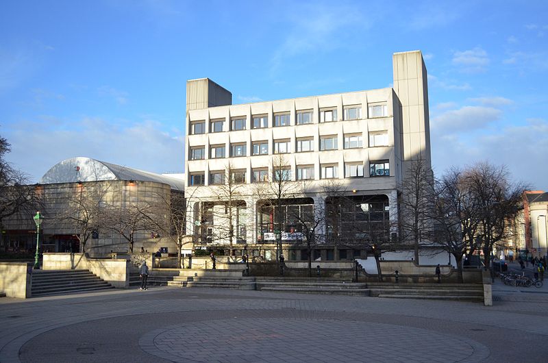
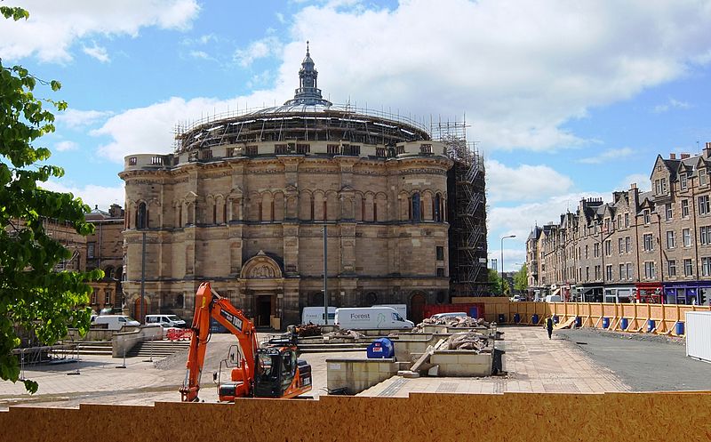
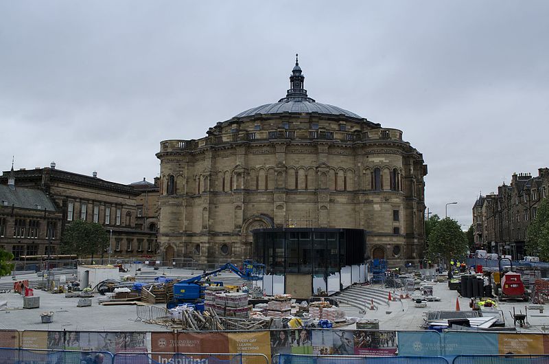
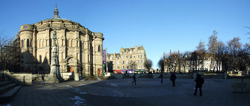
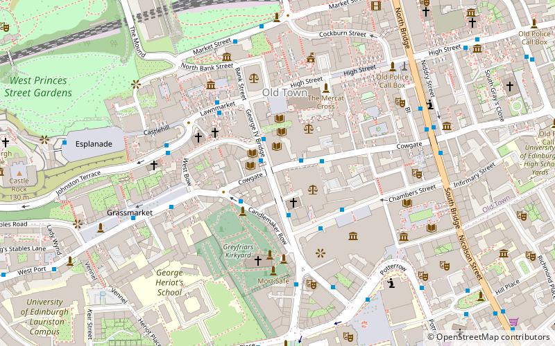
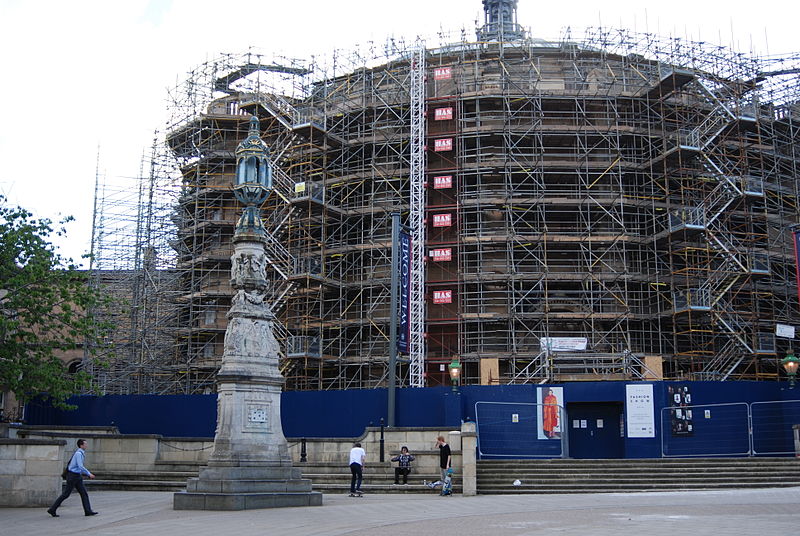
Bristo Square, Edinburgh, Scotland, is a public space on the estate of the University of Edinburgh. It lies in the south of the city, between George IV Bridge and George Square. ()
Coordinates: 55°56'44"N, 3°11'20"W
Address
Southside (Newington)Edinburgh
ContactAdd
Social media
Add
Day trips
Bristo Square – popular in the area (distance from the attraction)
Nearby attractions include: Greyfriars Kirkyard, National Museum of Scotland, Subway Cowgate, Sandy Bell's.
Frequently Asked Questions (FAQ)
Which popular attractions are close to Bristo Square?
Nearby attractions include Teviot Row House, Edinburgh (1 min walk), Reid Concert Hall, Edinburgh (2 min walk), Bedlam Theatre, Edinburgh (3 min walk), National Museum of Scotland, Edinburgh (3 min walk).
How to get to Bristo Square by public transport?
The nearest stations to Bristo Square:
Bus
Train
Tram
Bus
- Bristo Square • Lines: 41, 47 (1 min walk)
- Bristo Place • Lines: 41, 47 (2 min walk)
Train
- Edinburgh Waverley (12 min walk)
- Haymarket (30 min walk)
Tram
- Princes Street • Lines: Edinburgh Trams Eastbound, Edinburgh Trams Westbound (15 min walk)
- St Andrew Square • Lines: Edinburgh Trams Eastbound, Edinburgh Trams Westbound (17 min walk)


