Claife Heights, Ambleside
Map

Map

Facts and practical information
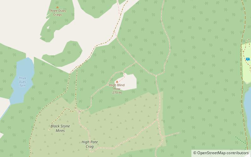
Claife Heights is an upland area in the Lake District, near to Windermere in Cumbria, England. It has a topographic prominence of 177 metres so is classified as a Marilyn. ()
Elevation: 886 ftCoordinates: 54°22'5"N, 2°57'7"W
Address
Ambleside
ContactAdd
Social media
Add
Day trips
Claife Heights – popular in the area (distance from the attraction)
Nearby attractions include: Windermere, Hill Top, Windermere Jetty, Windermere Way.
Frequently Asked Questions (FAQ)
How to get to Claife Heights by public transport?
The nearest stations to Claife Heights:
Ferry
Bus
Ferry
- Windermere Jetty • Lines: red (30 min walk)
- Bowness Pier 1 • Lines: red, yellow (31 min walk)
Bus
- Road Train Stop • Lines: Road Train (32 min walk)
- Bowness Pier • Lines: 599, 755 (32 min walk)


