Trek Zone

Windermere Way

#2510 among destinations in the United Kingdom

Hiking, Hiking trail
Windermere Way

Facts and practical information
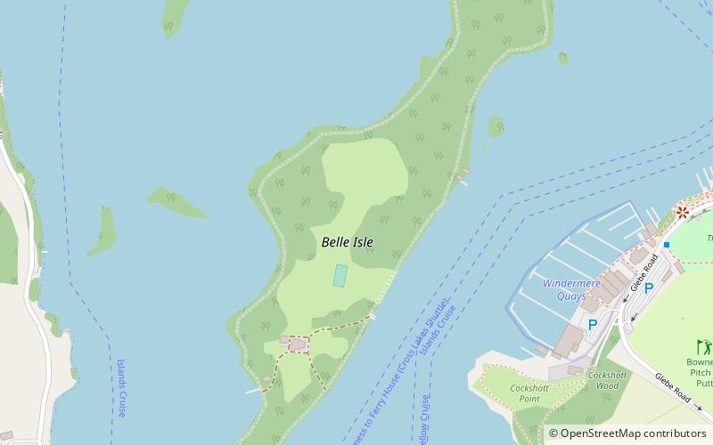
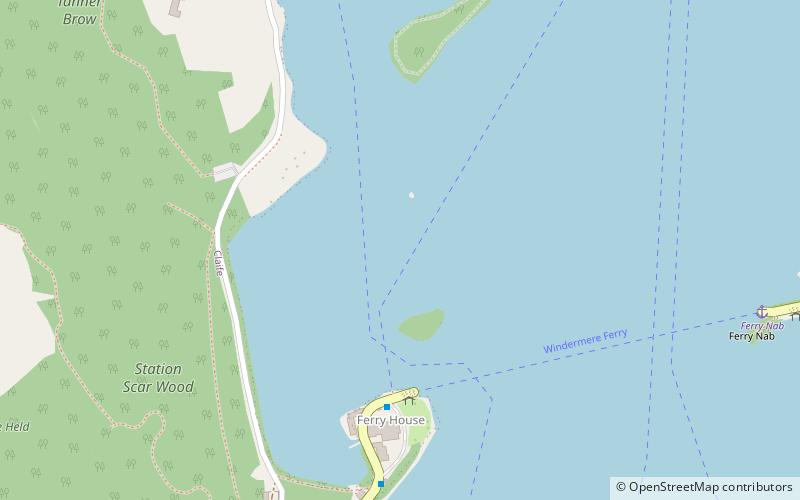
Length: 44.74 miMaximum elevation: 1601 ftCoordinates: 54°21'18"N, 2°56'20"W
Location

EnglandUnited Kingdom

ContactAdd
Social media
Add

Windermere Way plan & book

Unleash the traveler in you — discover the cheapest flight deals, find the perfect hotel or hostel nearby, and search for the best car rental prices. Travel at your own pace to discover new places and enjoy your journey.

Day trips

Windermere Way – popular in the area (distance from the attraction)

Nearby attractions include: Windermere, Windermere Jetty, St Martin's Church, Blackwell.

  • windermere0.4 miNW
  • windermere jetty1.3 miNE
  • st martins church windermere1 miNE
  • blackwell windermere1 miSE
  • bowness on windermere1 miNE
  • windermere lake cruises0.8 miNE
  • brant fell windermere1.2 miE
  • moss eccles tarn1.3 miNW
  • belle isle windermere location map
    0.5 miN
  • claife heights ambleside1 miNW

Where to next? Visit england England region page or discover the top tourist attractions in United Kingdom.