Fatfield Woods, Sunderland
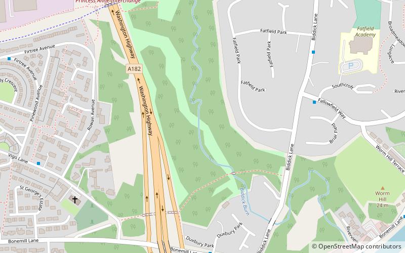
Map
Facts and practical information
Fatfield Woods is a woodland in Tyne and Wear, England, near Washington. It covers a total area of 8.99 hectares. It is owned and managed by the Woodland Trust. ()
Coordinates: 54°52'55"N, 1°31'30"W
Address
Sunderland
ContactAdd
Social media
Add
Day trips


Frequently Asked Questions (FAQ)
Which popular attractions are close to Fatfield Woods?
Nearby attractions include Penshaw Bridge, Chester-le-Street (11 min walk), Chartershaugh Bridge, Sunderland (12 min walk), Victoria Viaduct, Sunderland (23 min walk).