Chartershaugh Bridge, Sunderland
Map

Map

Facts and practical information
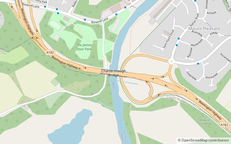
Chartershaugh Bridge is a road traffic bridge spanning the River Wear in North East England, linking Penshaw with Fatfield as part of the A182 road. The bridge was opened in 1975 and is named after the former settlement of Chartershaugh, which once stood on a site near the bridge. ()
Opened: 1975 (51 years ago)Coordinates: 54°52'34"N, 1°31'10"W
Address
Sunderland
ContactAdd
Social media
Add
Day trips
Chartershaugh Bridge – popular in the area (distance from the attraction)
Nearby attractions include: Victoria Viaduct, Lambton Castle, Penshaw Bridge, Cox Green Footbridge.
Frequently Asked Questions (FAQ)
Which popular attractions are close to Chartershaugh Bridge?
Nearby attractions include Penshaw Bridge, Chester-le-Street (9 min walk), Fatfield Woods, Sunderland (12 min walk), Victoria Viaduct, Sunderland (23 min walk).


