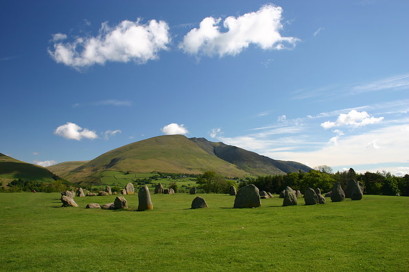
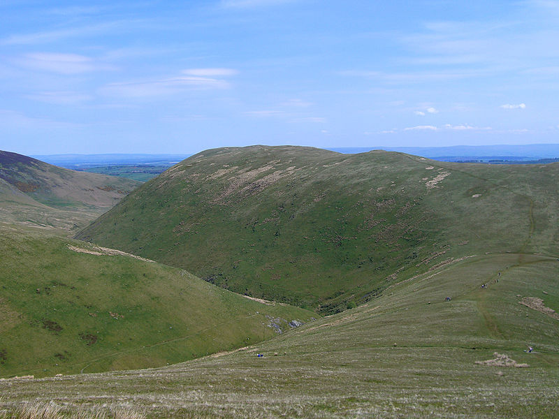
Souther Fell, Lake District National Park

Gallery (4)
Map

Map
Gallery
Facts and practical information
Souther Fell is a fell in the English Lake District. It stands to the south of Mungrisdale village in the Northern Fells. It is most famous for the appearance of a "spectral army", said to have been seen marching along its crest on Midsummer's Day, 1745. No such force was in the District at the time. ()
Elevation: 1713 ftProminence: 285 ftCoordinates: 54°39'12"N, 3°0'6"W
Address
Lake District National Park
ContactAdd
Social media
Add
Day trips