High Rigg, Keswick

Map
Facts and practical information
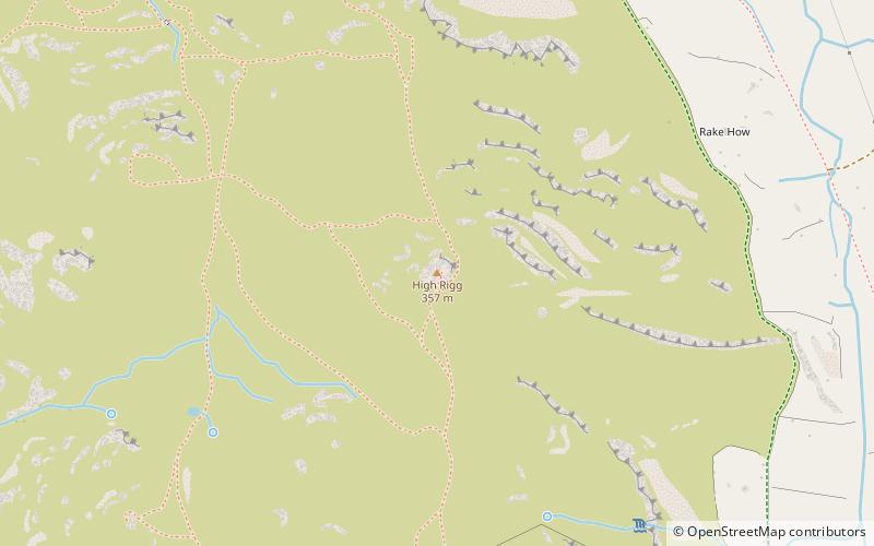
High Rigg is a small fell located in the English Lake District, approximately three miles southeast of the town of Keswick. It occupies an unusual position, surrounded on all sides by higher fells but not connected by any obvious ridge. This separation from its fellows ensures that it is a Marilyn. ()
Coordinates: 54°35'18"N, 3°4'17"W
Address
Keswick
ContactAdd
Social media
Add
Day trips
High Rigg – popular in the area (distance from the attraction)
Nearby attractions include: Castlerigg Stone Circle, Land's End to John o' Groats, St John's Church, St John's in the Vale.
Frequently Asked Questions (FAQ)
How to get to High Rigg by public transport?
The nearest stations to High Rigg:
Bus
Bus
- Dale Bottom • Lines: 555 (25 min walk)
- Shoulthwaite Farm • Lines: 555 (26 min walk)


