St Bernard's Well, Edinburgh
Map
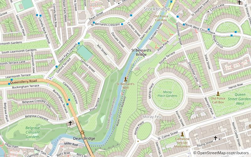
Map

Facts and practical information
Bernard Street is a thoroughfare in Leith, Edinburgh, Scotland. It runs west north westerly from the junction of Constitution Street and Baltic Street to meet the Water of Leith at The Shore. It forms the northern boundary of what was known in the 19th century as 'Old Leith'. ()
Coordinates: 55°57'19"N, 3°12'41"W
Day trips
St Bernard's Well – popular in the area (distance from the attraction)
Nearby attractions include: Princes Street, George Street, Princes Street Gardens, St Cuthbert's Church.
Frequently Asked Questions (FAQ)
Which popular attractions are close to St Bernard's Well?
Nearby attractions include Dean Gardens, Edinburgh (3 min walk), Moray Estate, Edinburgh (4 min walk), Dean Bridge, Edinburgh (5 min walk), Stockbridge, Edinburgh (6 min walk).
How to get to St Bernard's Well by public transport?
The nearest stations to St Bernard's Well:
Bus
Tram
Train
Bus
- Dean Bridge • Lines: 37, 41, 43, 47 (5 min walk)
- Kerr Street • Lines: 29 (6 min walk)
Tram
- West End • Lines: Edinburgh Trams Eastbound, Edinburgh Trams Westbound (12 min walk)
- Princes Street • Lines: Edinburgh Trams Eastbound, Edinburgh Trams Westbound (15 min walk)
Train
- Haymarket (20 min walk)
- Edinburgh Waverley (22 min walk)

