Cardiff city centre, Cardiff
Map
Gallery
Facts and practical information
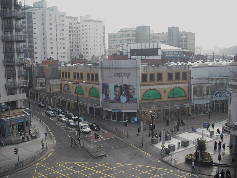
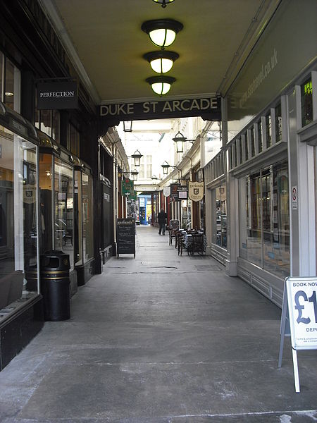
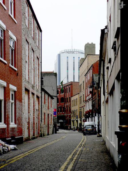
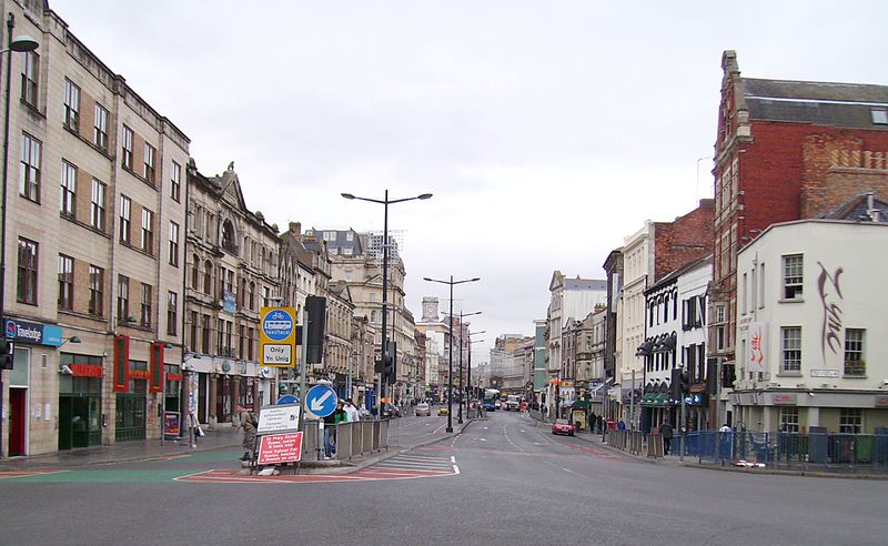
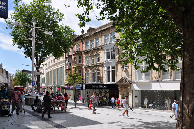
Cardiff City Centre is the city centre and central business district of Cardiff, Wales. The area is tightly bound by the River Taff to the west, the Civic Centre to the north and railway lines and two railway stations – Central and Queen Street – to the south and east respectively. Cardiff became a city in 1905. ()
Coordinates: 51°28'48"N, 3°10'12"W
Day trips
Cardiff city centre – popular in the area (distance from the attraction)
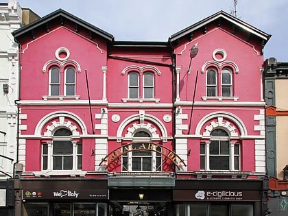
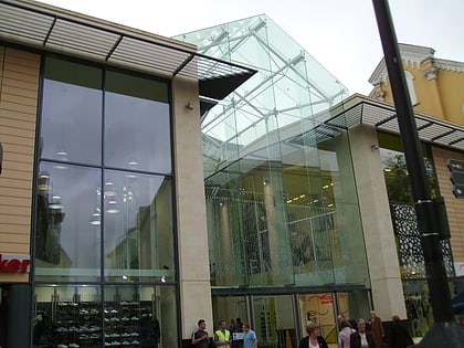
Nearby attractions include: Queen Street, St David's, Capitol Centre, Cardiff International Arena.
Frequently Asked Questions (FAQ)
Which popular attractions are close to Cardiff city centre?
Nearby attractions include Cardiff International Arena, Cardiff (3 min walk), Bridge Street Exchange, Cardiff (3 min walk), Tŷ Pont Haearn, Cardiff (4 min walk), Cardiff Metropolitan Cathedral, Cardiff (5 min walk).
How to get to Cardiff city centre by public transport?
The nearest stations to Cardiff city centre:
Bus
Train
Bus
- Station Terrace • Lines: 28 (3 min walk)
- Churchill Way HQ • Lines: 8 (4 min walk)
Train
- Cardiff Queen Street (4 min walk)
- Cardiff Central (13 min walk)


