Loch Morar

Gallery (4)
Map

Map
Gallery
Facts and practical information
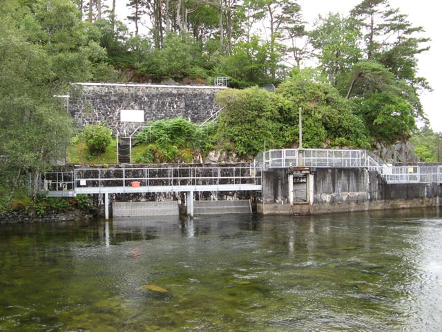
Loch Morar is a freshwater loch in Lochaber, Highland, Scotland. It is the fifth-largest loch by surface area in Scotland, at 26.7 km2, and the deepest freshwater body in the British Isles with a maximum depth of 310 m. The loch was created by glacial action around 10,000 years ago, and has a surface elevation of 9 metres above sea level. It separates the traditional district of North Morar, from Arisaig and Moidart. ()
Alternative names: Area: 10.31 mi²Length: 11.68 miMaximum depth: 1017 ftElevation: 30 ft a.s.l.Coordinates: 56°57'17"N, 5°41'1"W
Location
Scotland
ContactAdd
Social media
Add
Day trips