Morar Railway Viaduct
Map

Map

Facts and practical information
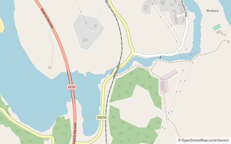
The Morar Railway Viaduct is a railway viaduct that carries the West Highland Line over the River Morar. ()
Opened: 1901 (125 years ago)Coordinates: 56°57'46"N, 5°48'57"W
Location
Scotland
ContactAdd
Social media
Add
Day trips
Morar Railway Viaduct – popular in the area (distance from the attraction)
Nearby attractions include: Traigh Golf Course, The Prince's Cairn, Loch Morar, Loch nan Uamh Viaduct.


