Dally Castle, Northumberland National Park

Gallery (1)
Map
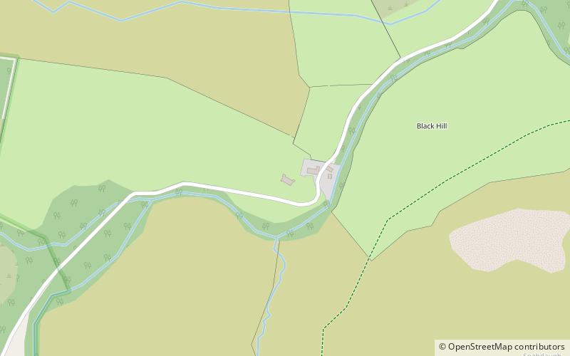
Map
Facts and practical information
Dally Castle is a ruined 13th-century stone motte-and-bailey fortress in Northumberland, and one of the first hall houses in Northumberland. It lies 5 miles west of Bellingham Castle, and 4 miles west of Bellingham on the Chirdon Burn, a tributary of the North Tyne. Dally Castle House was built in the 18th century next to the castle. Across the road lies a small flour mill used to grind wheat during the Napoleonic War. ()
Address
Northumberland National Park
ContactAdd
Social media
Add
Day trips