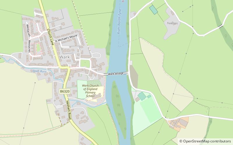
Wark Bridge
#4930 among destinations in the United Kingdom


Facts and practical information
Wark Bridge is an iron bridge over the River North Tyne at Wark on Tyne in Northumberland. ()
EnglandUnited Kingdom
Wark Bridge – popular in the area (distance from the attraction)
Nearby attractions include: Chipchase Castle, Haughton Castle, Chesters Roman Fort and Museum, Milecastle 33.
 Forts and castles
Chipchase Castle
34 min walk • Chipchase Castle is a 17th-century Jacobean mansion incorporating a substantial 14th-century pele tower, which stands north of Hadrian's Wall, near Wark on Tyne, between Bellingham and Hexham in Northumberland, England.
 Forts and castles
Haughton Castle, Hadrian's Wall
111 min walk • Haughton Castle is a privately owned country mansion and Grade I listed building, situated to the north of the village of Humshaugh on the west bank of the North Tyne. It is around 5 ¹⁄₂ miles north of the market town of Hexham, Northumberland.
 Museum
Chesters Roman Fort and Museum, Hexham
130 min walk • Housesteads Roman Fort is the remains of an auxiliary fort on Hadrian's Wall, at Housesteads, Northumberland, England, south of Broomlee Lough.
 Area
AreaMilecastle 33, Hadrian's Wall
116 min walk • Milecastle 33 was a milecastle of the Roman Hadrian's Wall, one of a series of small fortlets built at intervals of approximately one Roman mile along the length of the UNESCO World Heritage Site in northern England.
 Area
AreaLimestone Corner, Hadrian's Wall
90 min walk • Limestone Corner is an area of Hadrian's Wall at its most northerly point, in present-day northern England. It represents the most northerly point of the Roman Empire, outside the two periods during which the Antonine Wall was occupied by the Roman military.
 Area
AreaMilecastle 29, Hadrian's Wall
98 min walk • Milecastle 29 was a milecastle of the Roman Hadrian's Wall. Its remains exist as a mutilated earth platform accentuated by deep robber-trenches around all sides, and are located beside the B6318 Military Road.
 Area
AreaCarrawburgh, Hadrian's Wall
91 min walk • Carrawburgh is a settlement in Northumberland. In Roman times, it was the site of a 3+1⁄2-acre auxiliary fort on Hadrian's Wall called Brocolitia, Procolita, or Brocolita. This name is probably based on the Celtic name for the place, and one possible translation put forward is 'badger holes'.
 Area
AreaCilurnum, Hadrian's Wall
134 min walk • Cilurnum or Cilurvum was a fort on Hadrian's Wall mentioned in the Notitia Dignitatum. It is now identified with the fort found at Chesters near the village of Walwick, Northumberland, England. It was built in 123 AD, just after the wall's completion.
 Area
AreaHadrian's Wall Path, Hadrian's Wall
134 min walk • Hadrian's Wall Path is a long-distance footpath in the north of England, which became the 15th National Trail in 2003. It runs for 84 miles, from Wallsend on the east coast of England to Bowness-on-Solway on the west coast.
 Area
AreaMilecastle 30, Hadrian's Wall
90 min walk • Milecastle 30 was a milecastle of the Roman Hadrian's Wall. Its remains exist as an outward-facing scarp with a maximum height of 0.8 metres. Masonry from the east wall remains in situ. The remaining stretch is 3.1 metres in length by 2.25 metres thick, and survives to a height of 0.6 metres.
 Area
AreaMilecastle 31, Hadrian's Wall
94 min walk • Milecastle 31 was a milecastle of the Roman Hadrian's Wall. Its remains exist as a turf covered platform beside the B6318 Military Road, just to the east of Carrawburgh fort.
